Our Visit:
8th and 9th December 2018.
Season:
End of Winter – Hazy, moderately cold and mostly dry air with slightly moist forest floors.
Route:
Onward:
Bengaluru -> Nelamangala -> Kunigal -> Yediyuru -> Hirisave -> Channarayapatna -> Arsikere -> Kadur -> Bhadravathi -> Shimoga -> Arasalu -> Hosanagara -> Nagara -> Sampekatte -> KattinahoLe
Return:
GolihoLe -> Kollur -> Nittur -> Nagara -> Konanduru -> Mandagadde -> Lakkavalli -> Tarikere -> Kadur -> Arsikere -> Tiptur -> Yadiyuru -> Kunigal -> Nelamangala -> Bengaluru
The road is very good till almost Shimoga. After that, the ghats start which are pretty good.
Mode of Transport:
We took Durgamba travels sleeper bus which was good. But, it is pretty difficult to sleep through the ghats anyway.
Map:
https://goo.gl/maps/nkECBrULHiF2
Location:
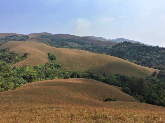
Kodachadri [kutaja (hill jasmine) + adri (mountain)] is a mountain in Shimoga district of Karnataka. It is in Mookambika wildlife sanctuary and is part of the western ghats. It is around 415 kms (around 8 hours drive) from Bengaluru. It is considered the most beautiful mountain in coastal Karnataka.
The trek starts near a village called KattinahoLe which is around 6 kms from Sampekatte bus stop.
Permissions:
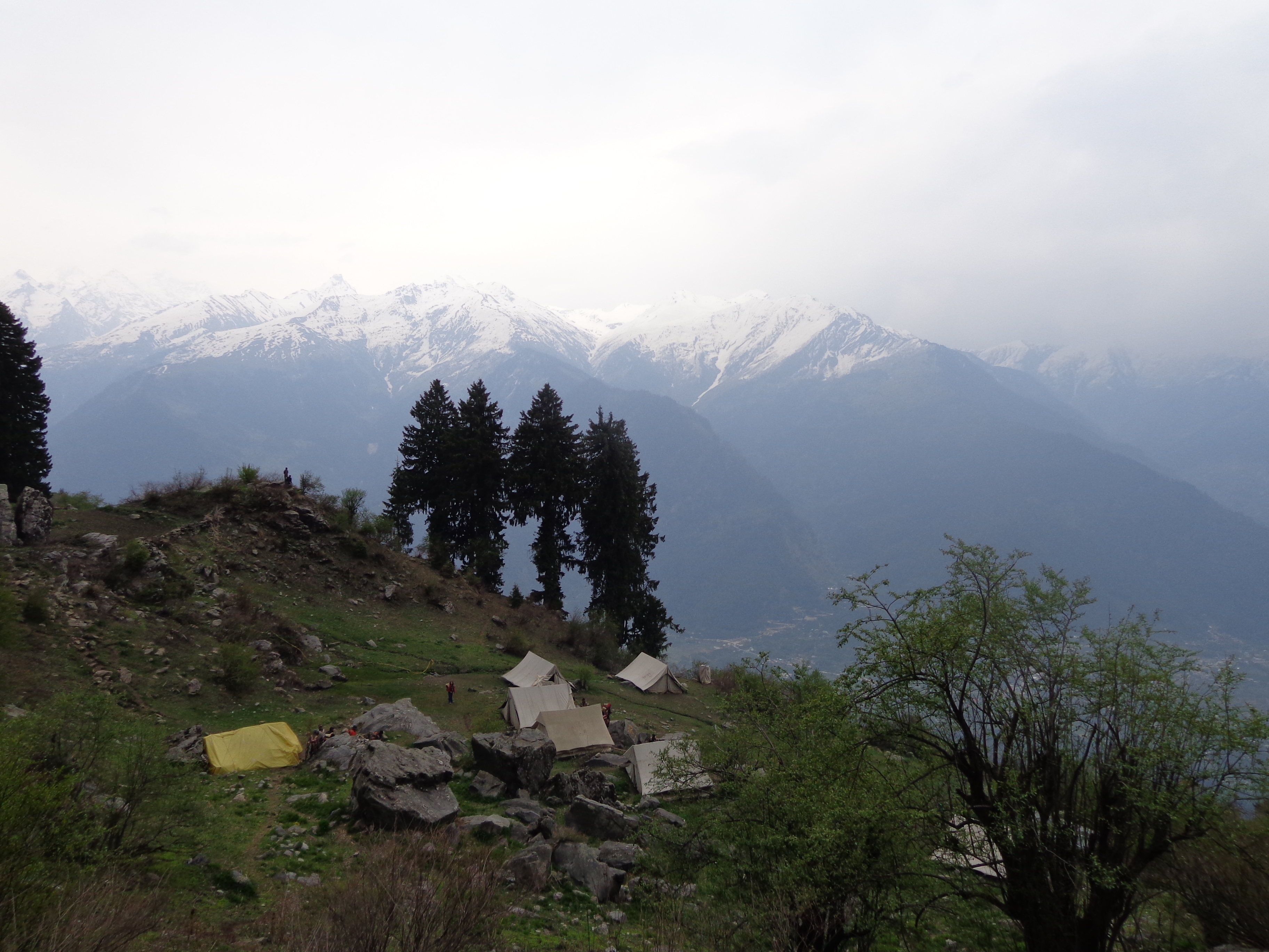
Permissions are required from the forest check post near KattinahoLe. One can opt for a guide from forest department as well. Camping is not allowed.
Contact:
Kodachadri HallimaNe homestay – Mr. Raveesh –
Mr. Raveesh will help you with everything that you need for trek – food, accomodation, jeep, guide, buses, taxis, local sight-seeing. Name it and he will provide that service to you. The prices are reasonable too.
Difficulty Level:
Its a long trek – around 17 km in total. The landscape is such that it is a moderate difficulty level trek. The speciality of this trek is that it offers all kinds of terrain – dense jungles, waterfalls with slippery rocks, grasslands and jeep track – a complete package. Since we were here in december and it was post monsoon, it not that difficult at all. But, during the monsoons with gushing waters, pouring rains, leeches and slippery paths, the trek’s difficulty level goes up a notch. Water is not a problem in this trek. Carry a bottle and you will get to fill it in many places. Since camping is not allowed, there would not be much weight on your shoulders making it a ‘light’ trek.
The Plan:
– Start from Bengaluru on friday night (10 PM).
– Reach Sampekatte by 6 AM.
– Jeep from Sampekatte to reach KattinahoLe (Kodachadri HallimaNe Homestay) by 6.30 AM.
– Freshen up, have breakfast and start trek by 8.30 AM.
– Reach Hidlumane Falls by 11.30 AM.
– Reach jeep track by 1.30 PM.
– Reach temple (or Inspection Bungalow) near peak by 2.30 PM.
– Have lunch near IB.
– Reach Sarvajna peeta by 4.30 PM.
– Reach peak by 5 PM and spend time till sunset.
– Take jeep back to homestay. Dinner and sleep.
– Start by 10 AM next day to Kollur temple.
– Reach Someshwara beach by 4 PM.
– Reach GolihoLe by 7.30 PM.
– Board bus in GolihoLe at 8 PM to reach Bengaluru at around 6 AM next morning.
Experience in detail:
DAY 1: 07th December 2018
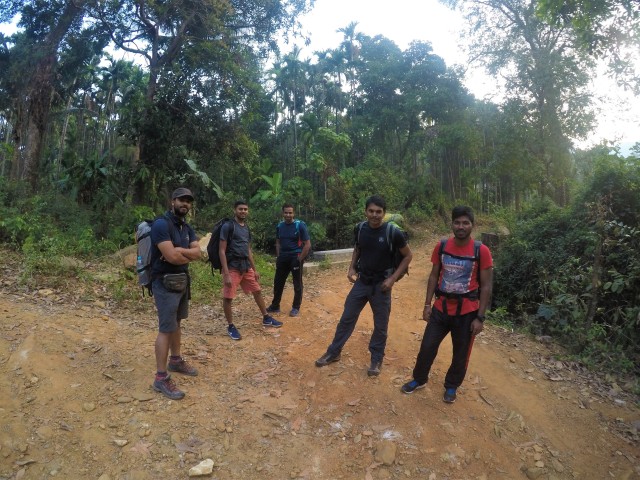
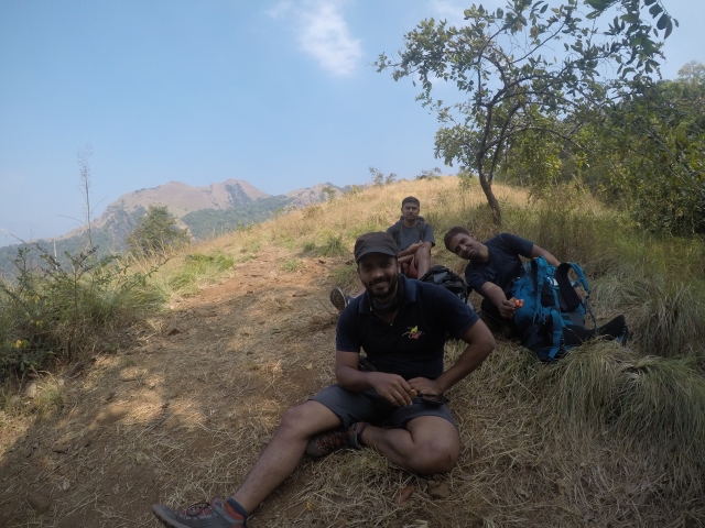
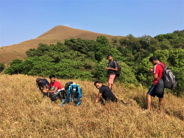
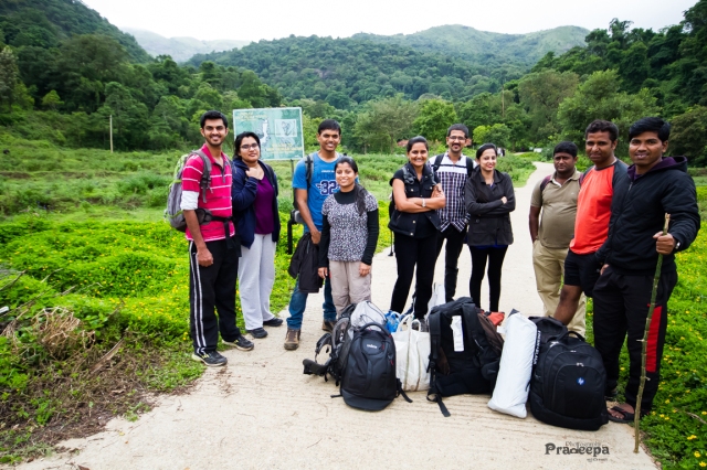
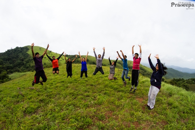
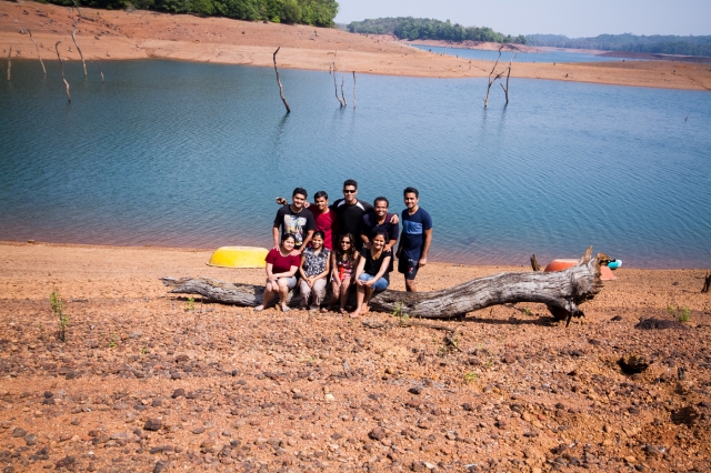
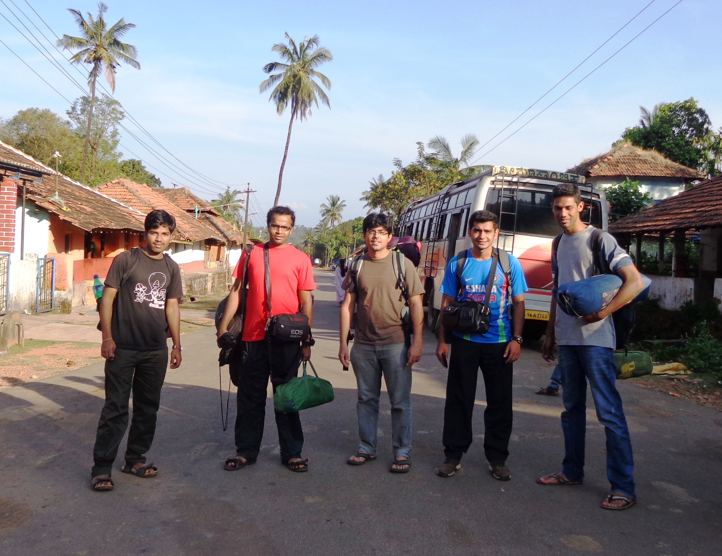
It was a much awaited trek. I was blessed with a baby boy in July and this was my first real outing in nearly an year. We were 5 this time – Jagan, Nagendran, Hari, Prem and me. Jagan, my long-time trek mate and the real reason for this trek had brought along his team-mate Hari. Nagendran (my team mate), Hari and Jagan were also my Nokia colleagues. I was meeting Prem (Jagan’s childhood friend) for the first time. It was special for Hari, Nagendran and Prem in a different way since this was their first real trek. Though I had been to Kodachadri in 2009, I was eager to revisit my memories. We all boarded our Durgamba travels bus from Goragunte Paalya stop at around 10.30 PM. After initial chatter, we quickly went on to sleep.
DAY 2: 08th December 2018
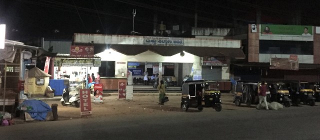
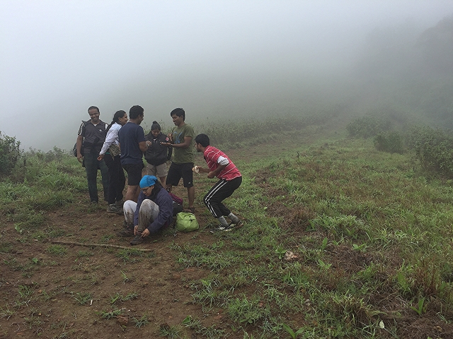
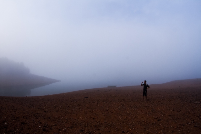
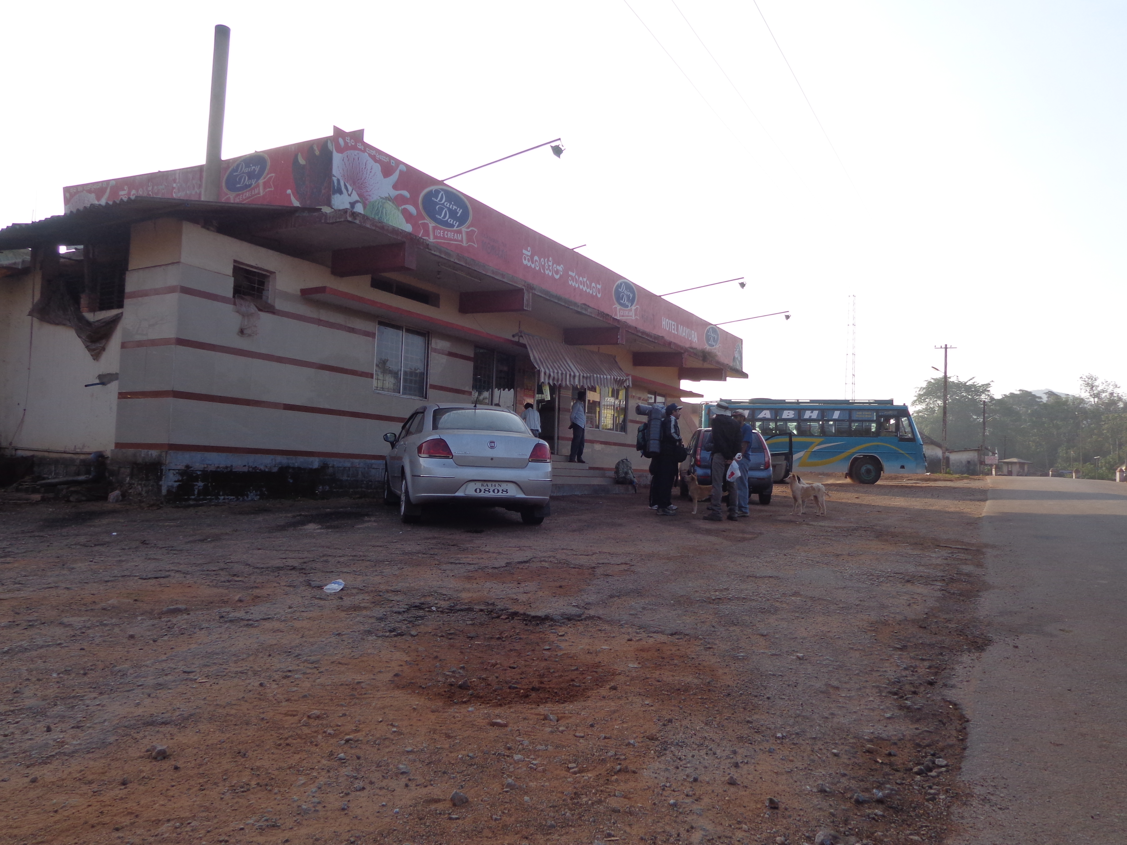
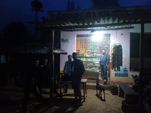
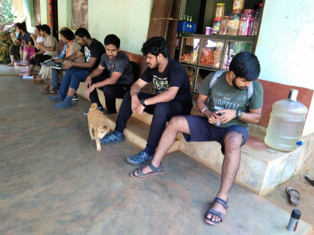
The bus dumped us in the foggy Sampekatte bus stand at around 6 AM. It was a cold morning and the small tea shop nearby helped us kick-start our day with a hot little cup of tea and biscuits. Our jeep ride was waiting. Our driver, Krishnamurthy, had helped us load our bags into the jeep’s belly. Three other trekkers were sharing the ride with us in the jeep.
Sampekatte bus stand tea stall
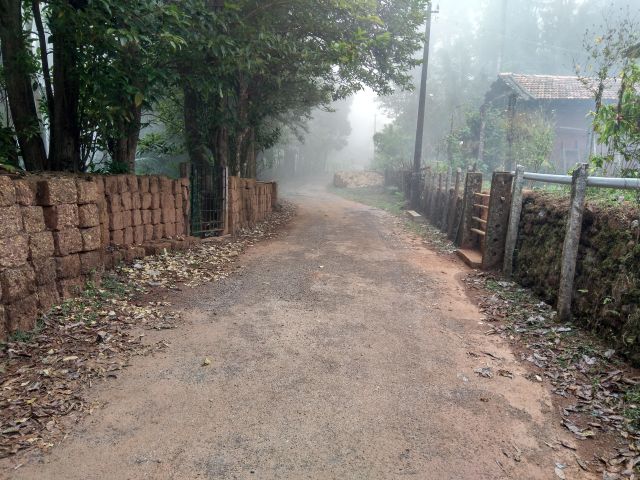
The ride from Sampekatte to KattinahoLe’s Kodachadri HallimaNe Homestay was around 6 km and the road were in good condition. The driver however seemed to be in a different mood altogether and I doubt if he ever lifted his foot off the accelerator peddle. He was zooming through the narrow village roads and now we were all surely wide awake!
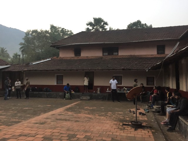
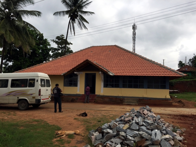
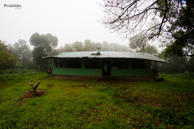
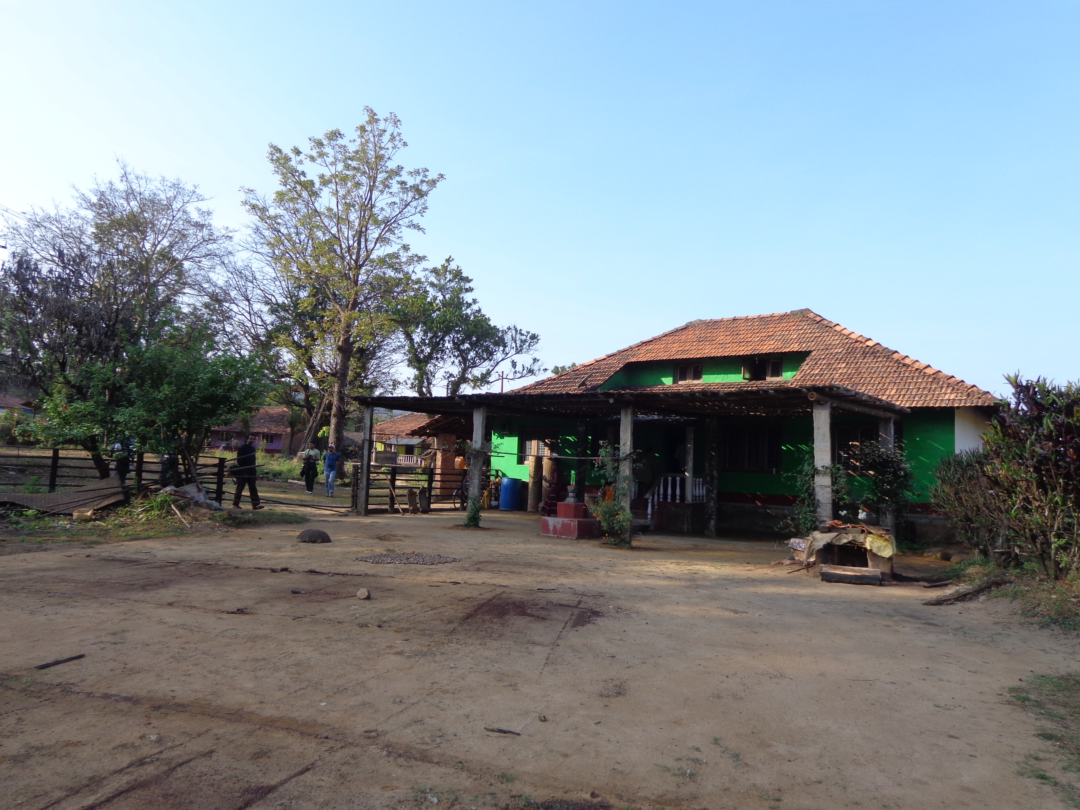
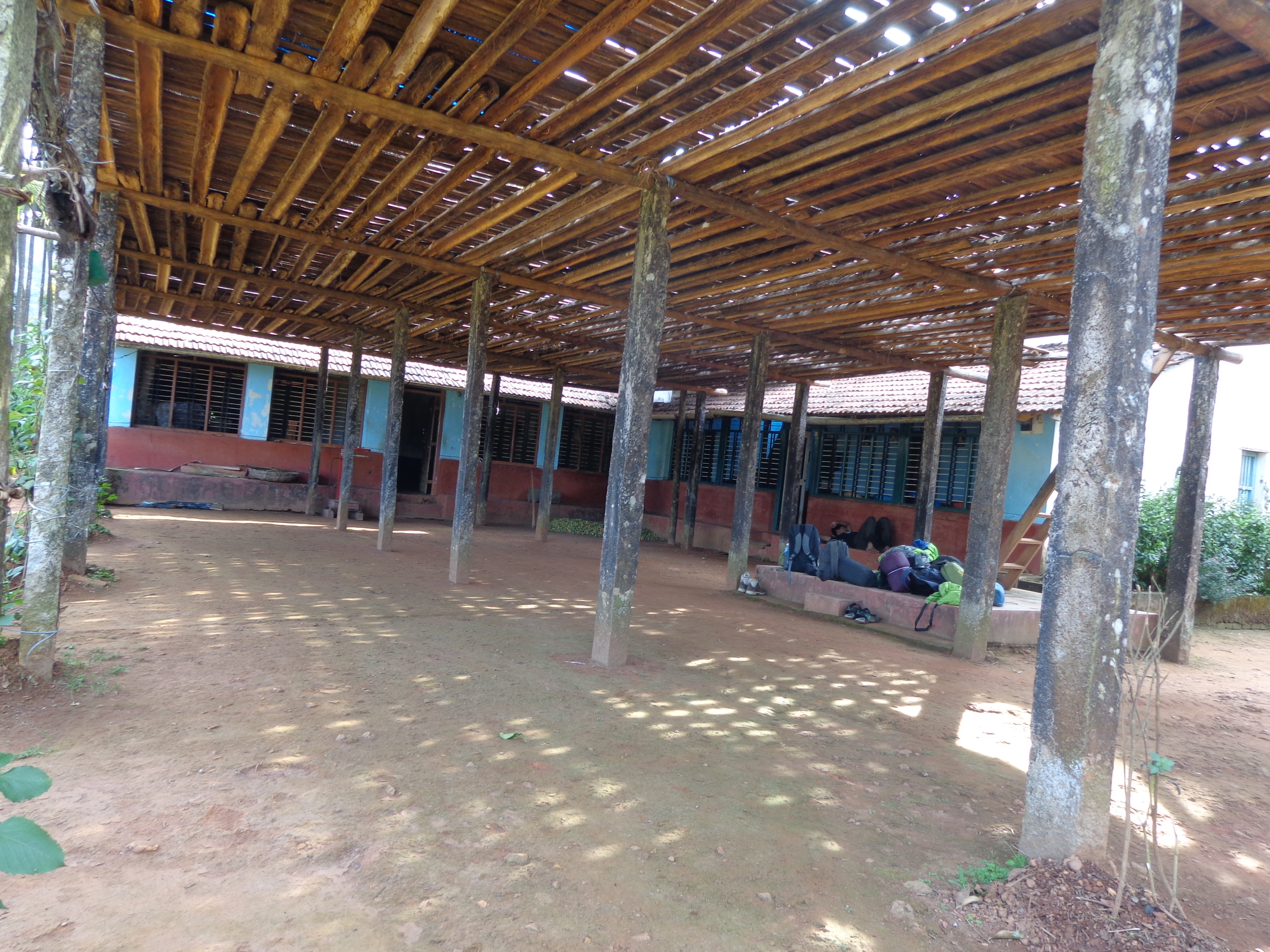
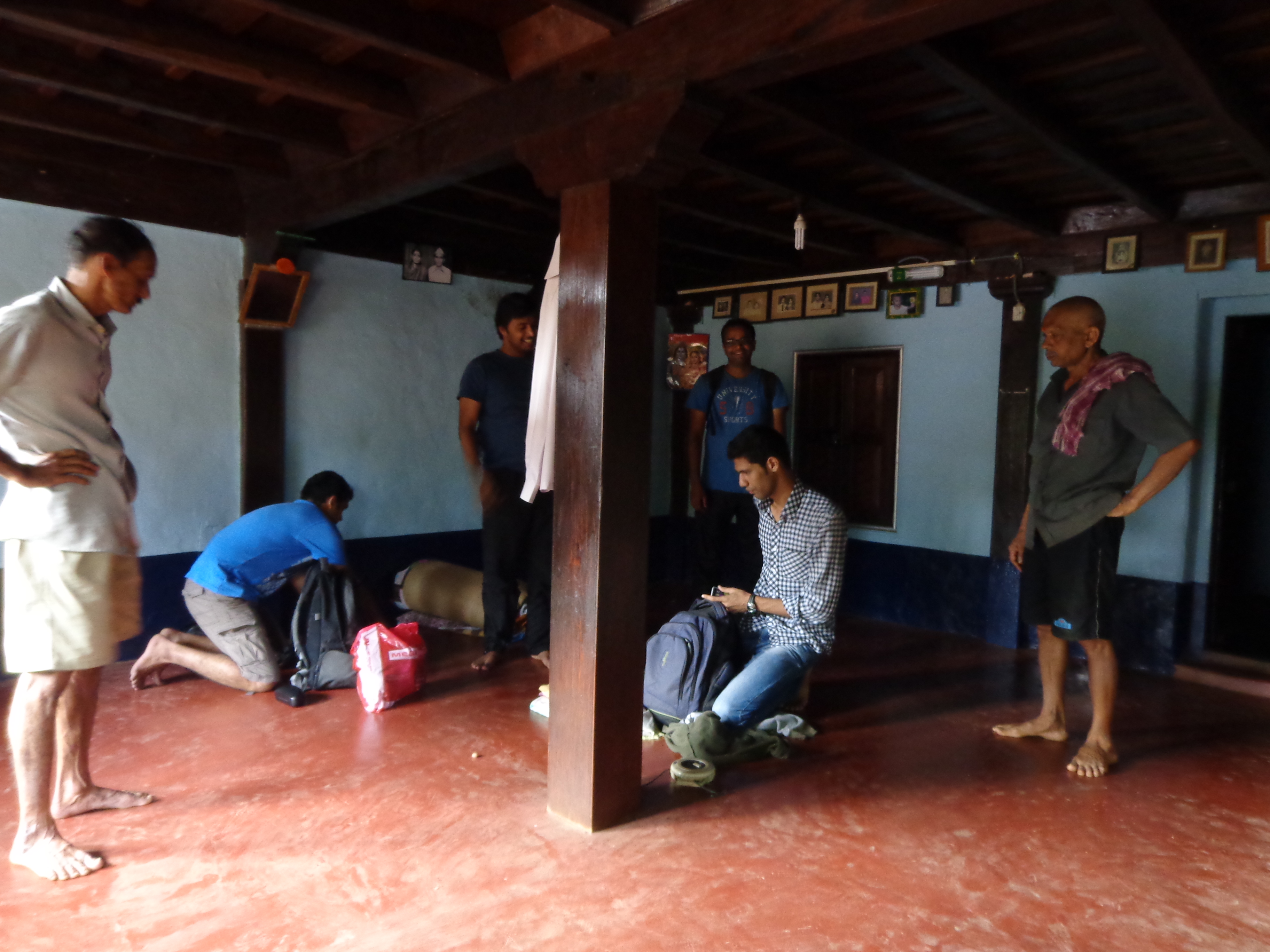
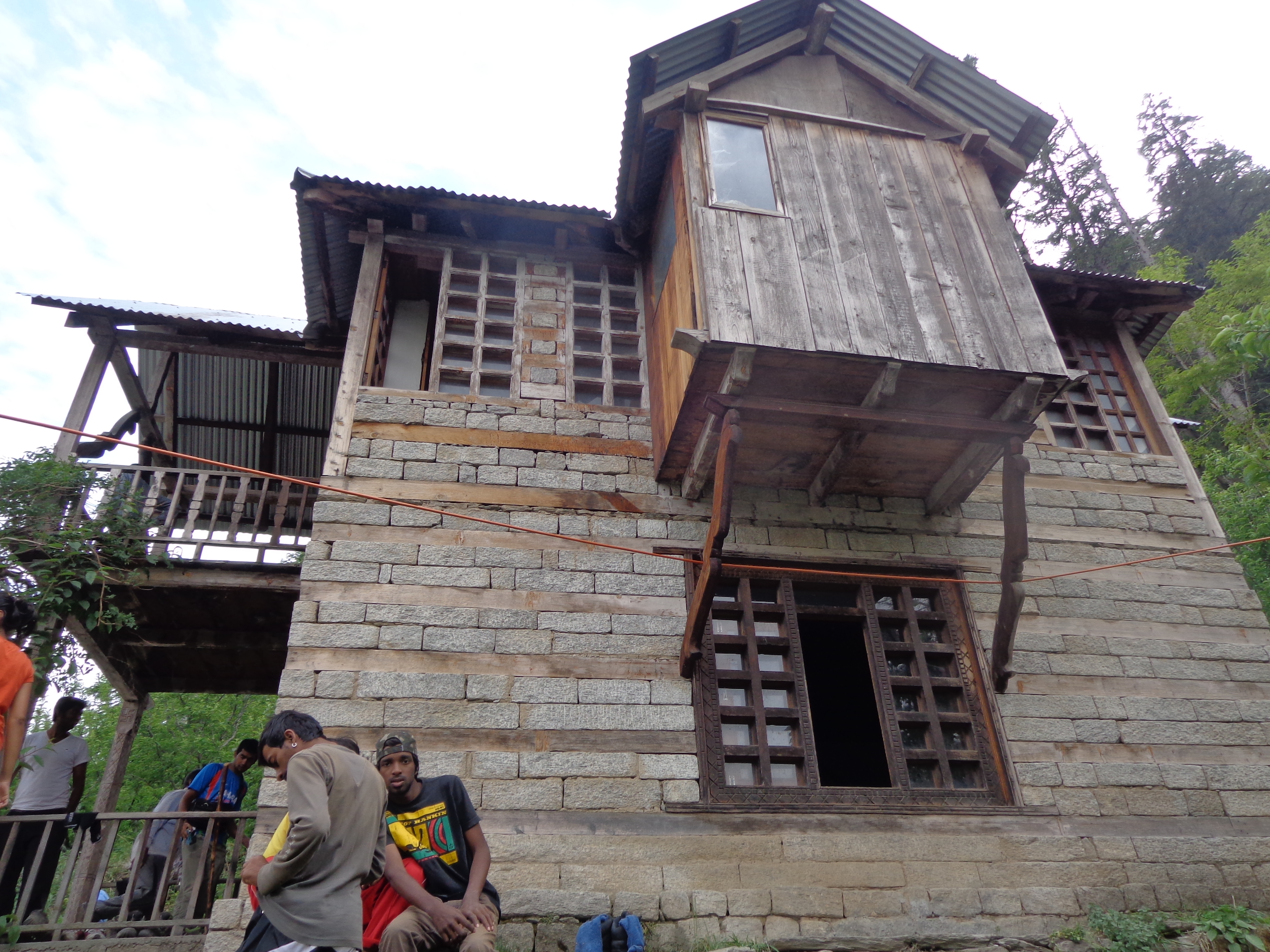
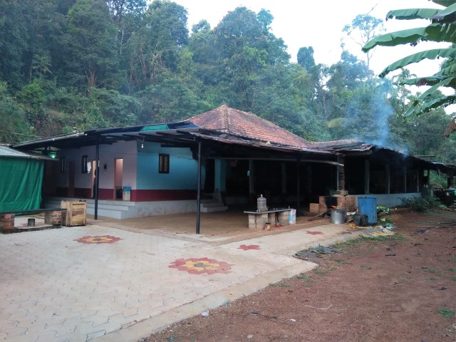
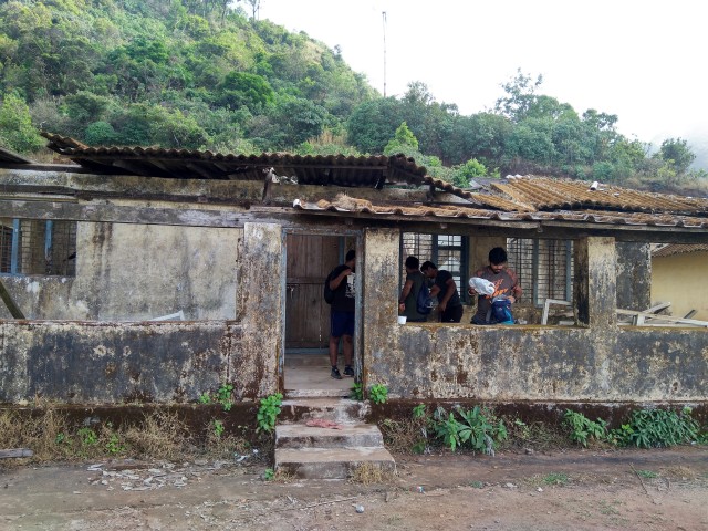
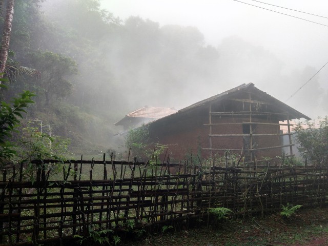
Mr. Raveesh and his wife greeted us once we reached the homestay. Raveesh (in his fifties) is a typical malnad guy and has been in this place all his life. He knows the neighbourhood, the region and its history. He has also written and published a small informative book on Kodachadri. He is a humble guy with happy-to-help attitude. The homestay has two buildings. The old one is actually Mr.Raveesh’s big malnad-style home with Mangalore tiled roof. Apart from his home, it has 3 rooms attached to it with few common bathrooms. We were given 2 of these 3 rooms for our stay. The other building was a modern 2 floored RCC building that Raveesh had recently built out of his savings specifically for homestay purpose. It has different sized rooms and could easily accomodate 20 people.
Kodachadri Hallimane Homestay
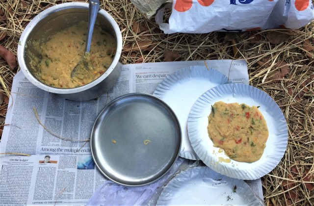
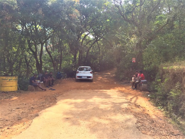
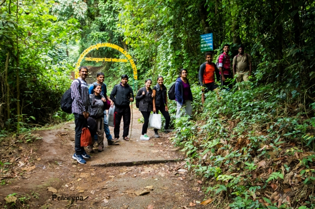
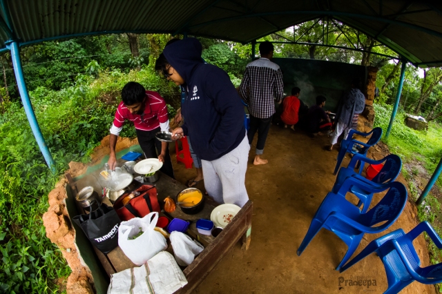
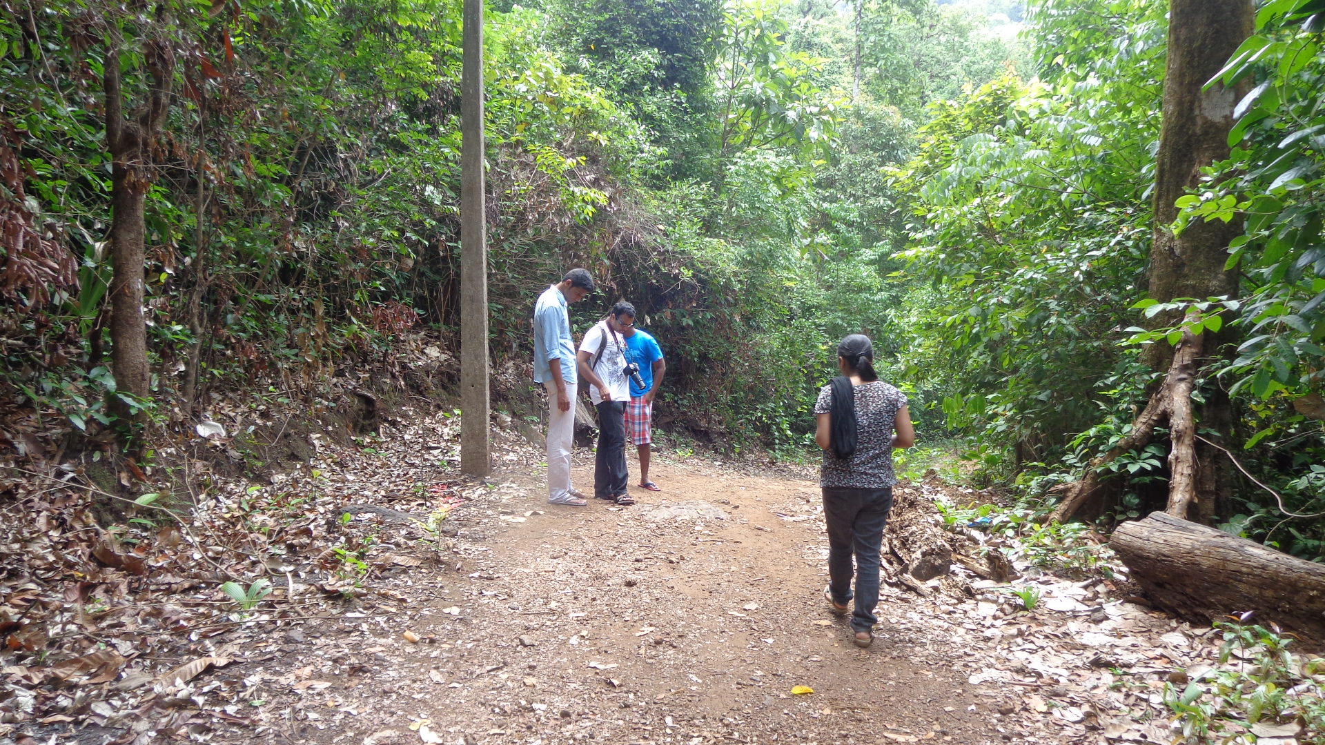
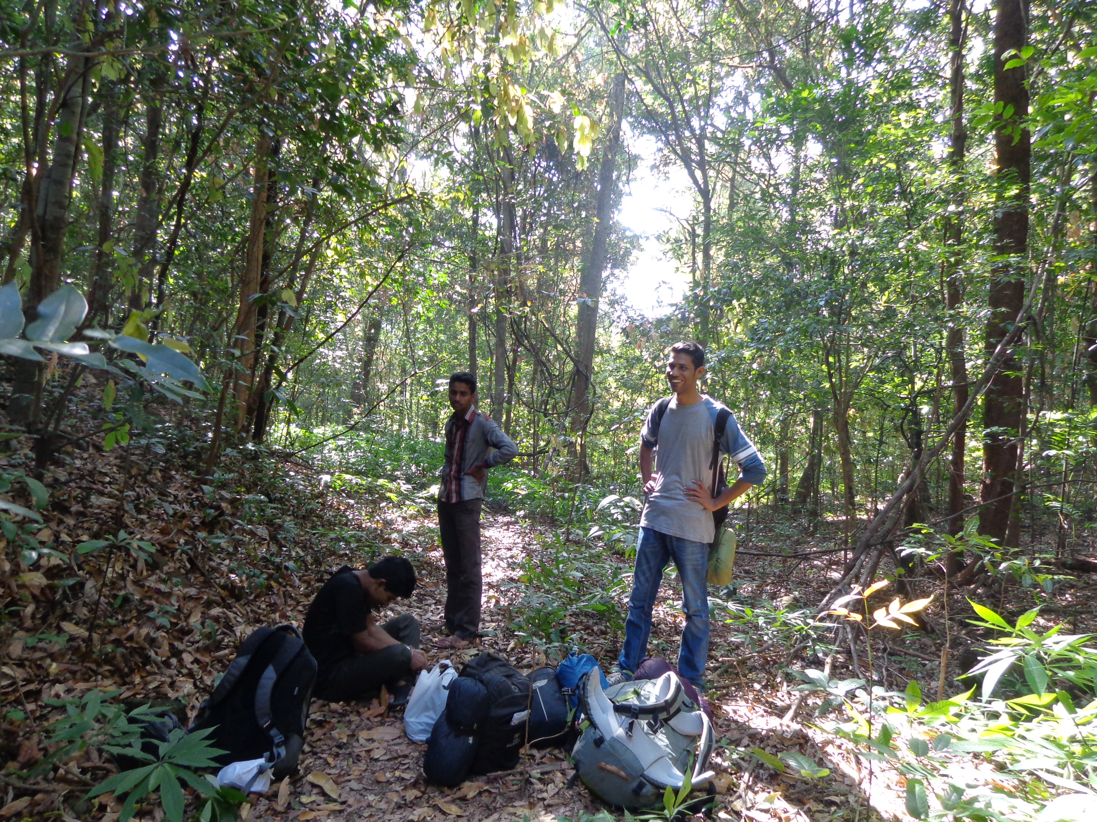
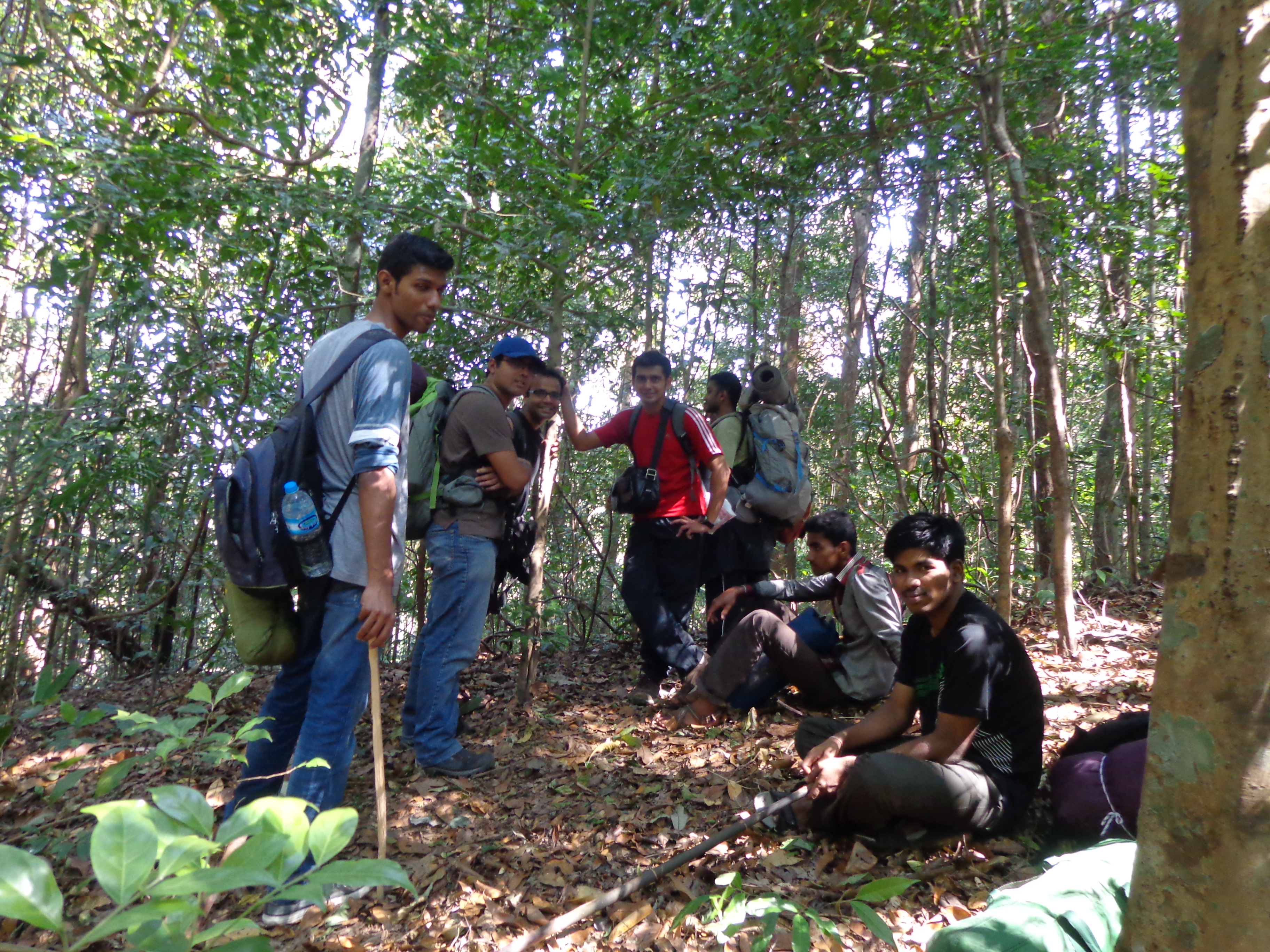
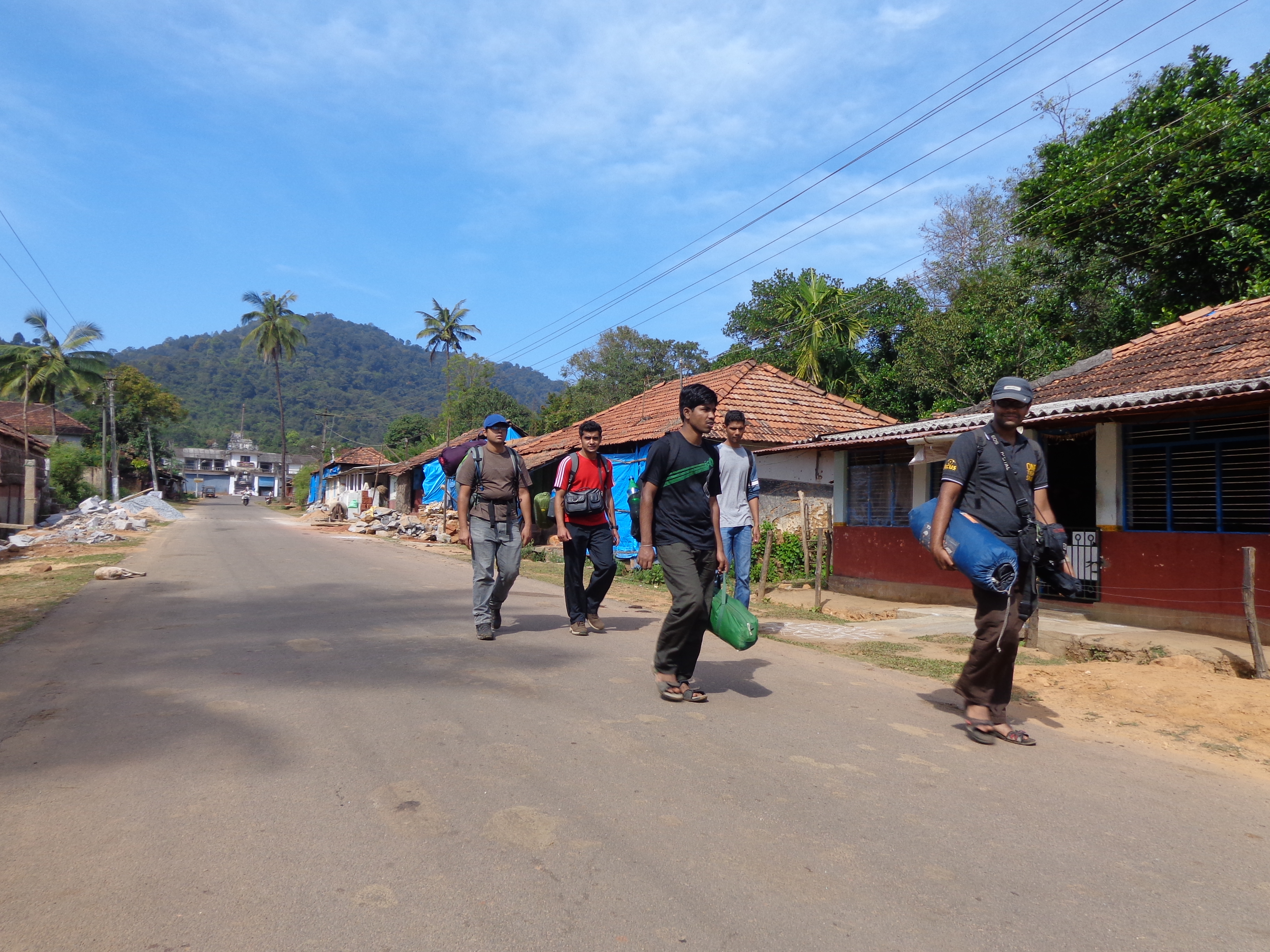
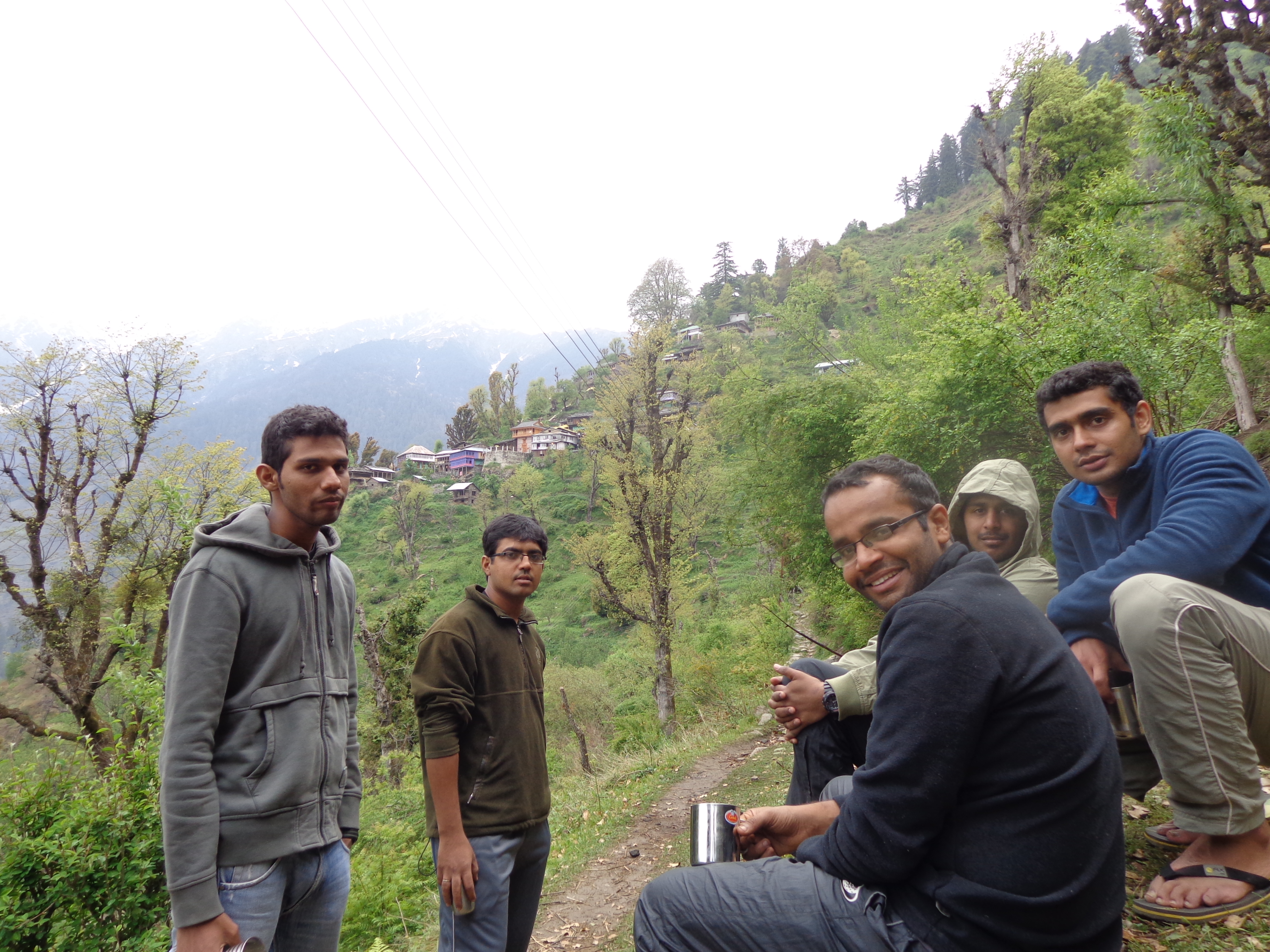
We were offered tea on reaching the homestay and once we got freshened up, our breakfast (upma and idlis) were ready. It tasted quite okay. We packed 3 boxes of upma just in case we needed it during our trek. Raveesh had arranged for a guide. He was a localite and was in his twenties. He quickly gelled with us. We started our walk towards the forest checkpost at around 8 AM. Guide told us that the 3 trekkers who had joined us in the morning’s jeep would like to join us for the trek and he could guide both the groups. It seemed like a harmless proposal and we all agreed. But, this was a mistake and we realized much later.
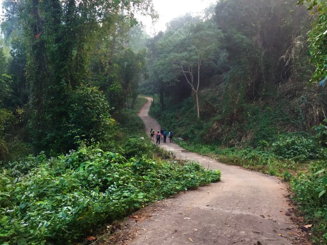
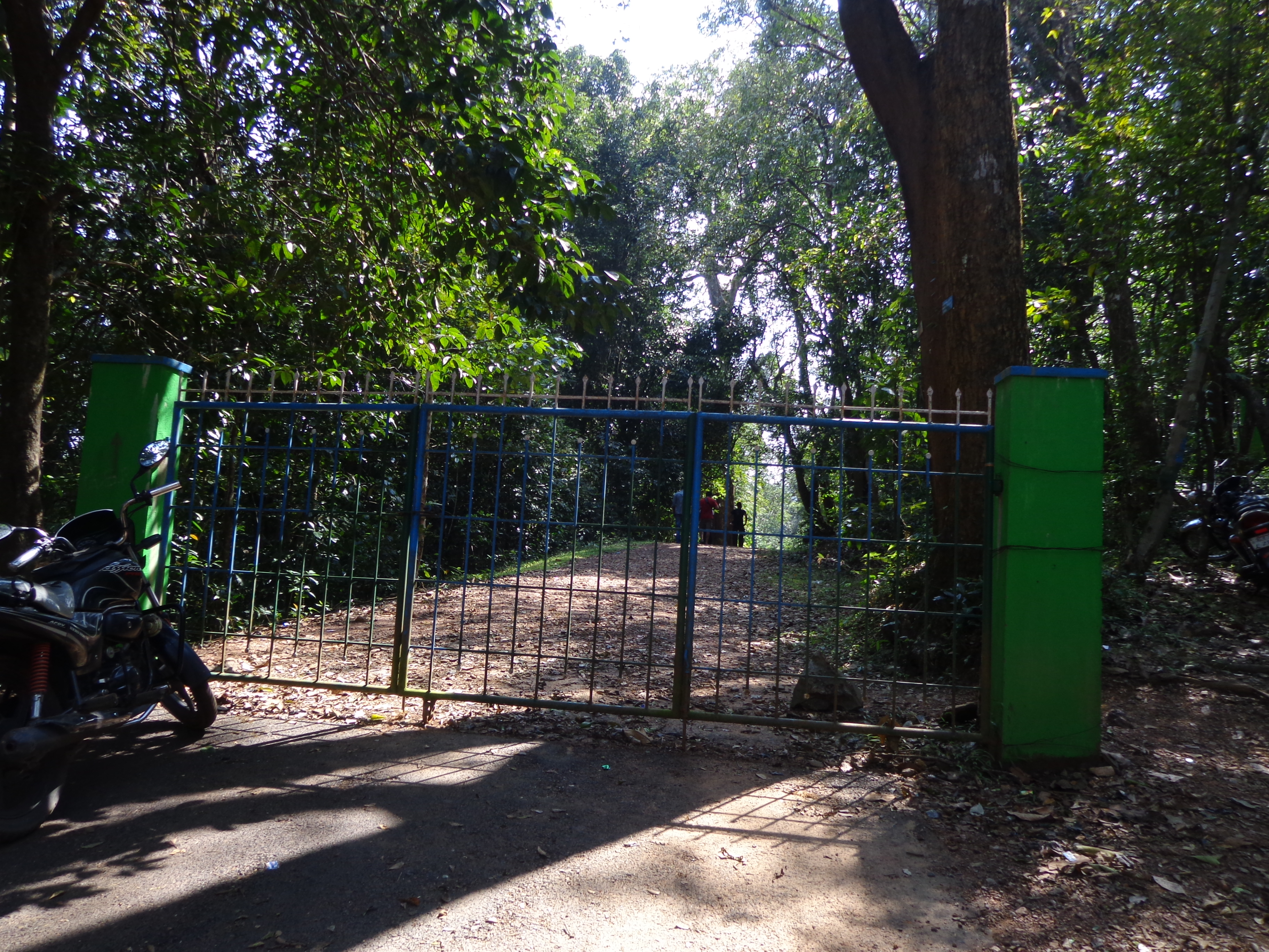
We walked for around half a kilometer and reached a jeep stand where there were few shops as well. Half a kilometer’s walk from here and we reached the forest checkpost. Here, we had to buy forest entry tickets (Rs.20 each) and would also have to surrender any plastics in our bags [But, nobody really checked].
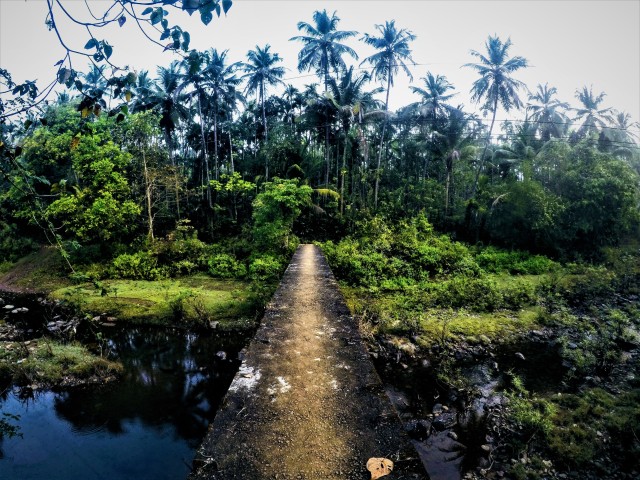
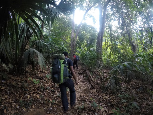
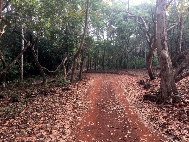
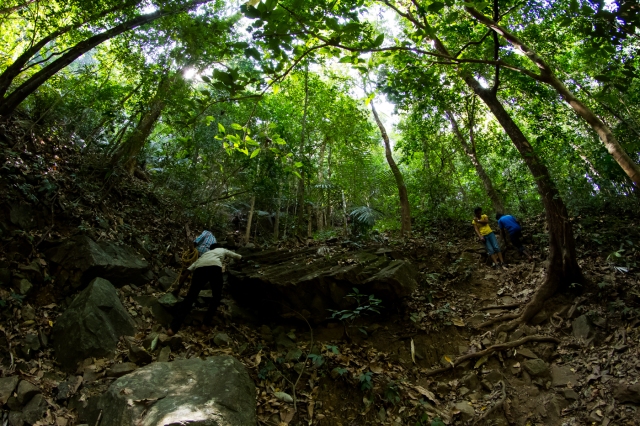
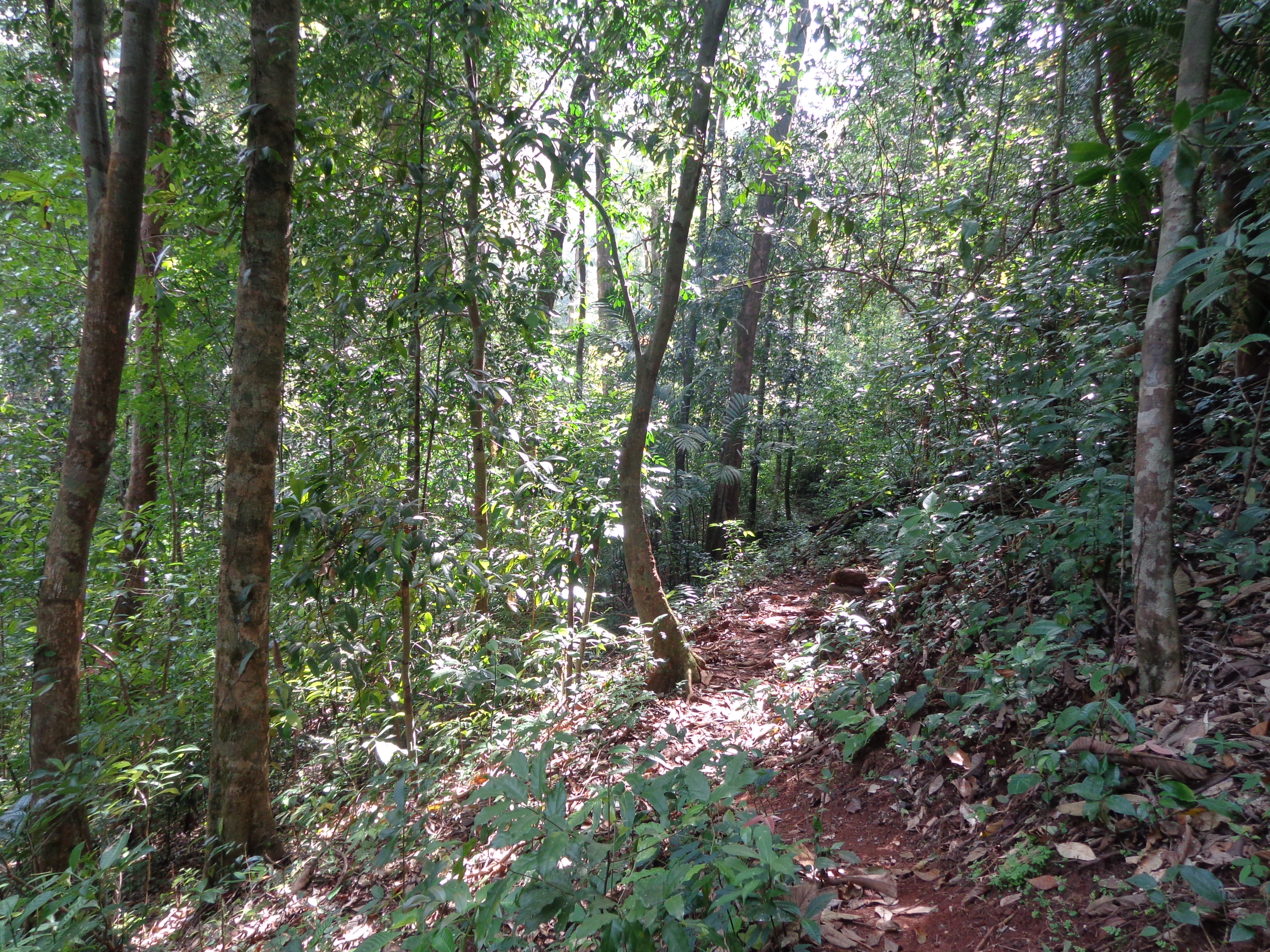
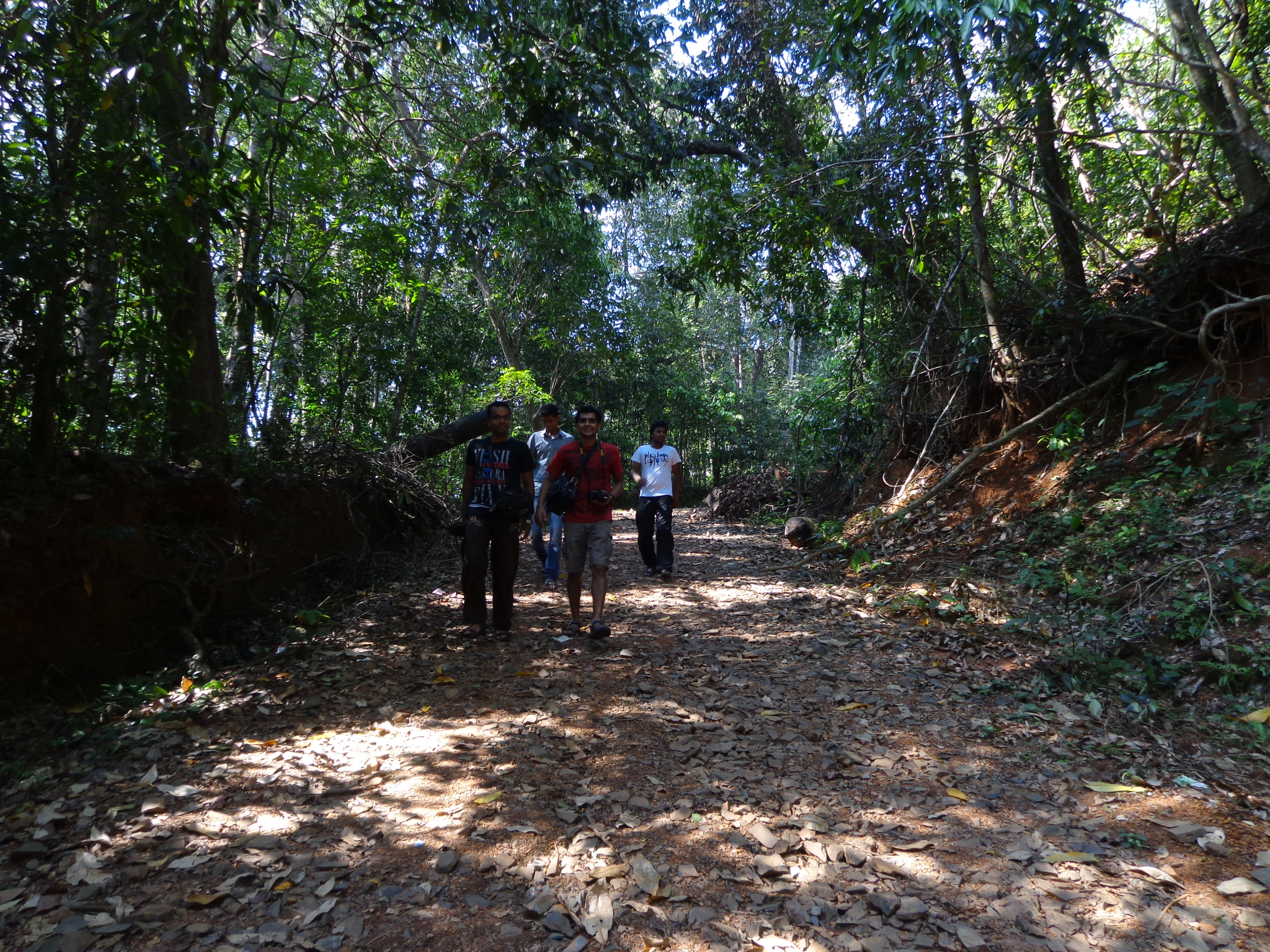
A short walk on the jeep track for a while and then we entered another path towards Hidlumane falls. The forest path seemed to have started now.
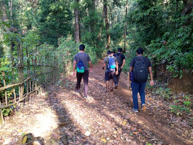
Trek path starts
A short walk on the forest path and by 10 AM, we reached a clearing. At the edge of the clearing was a home with a small shop and cute puppies.
The first clearing
House in middle of nowhere!
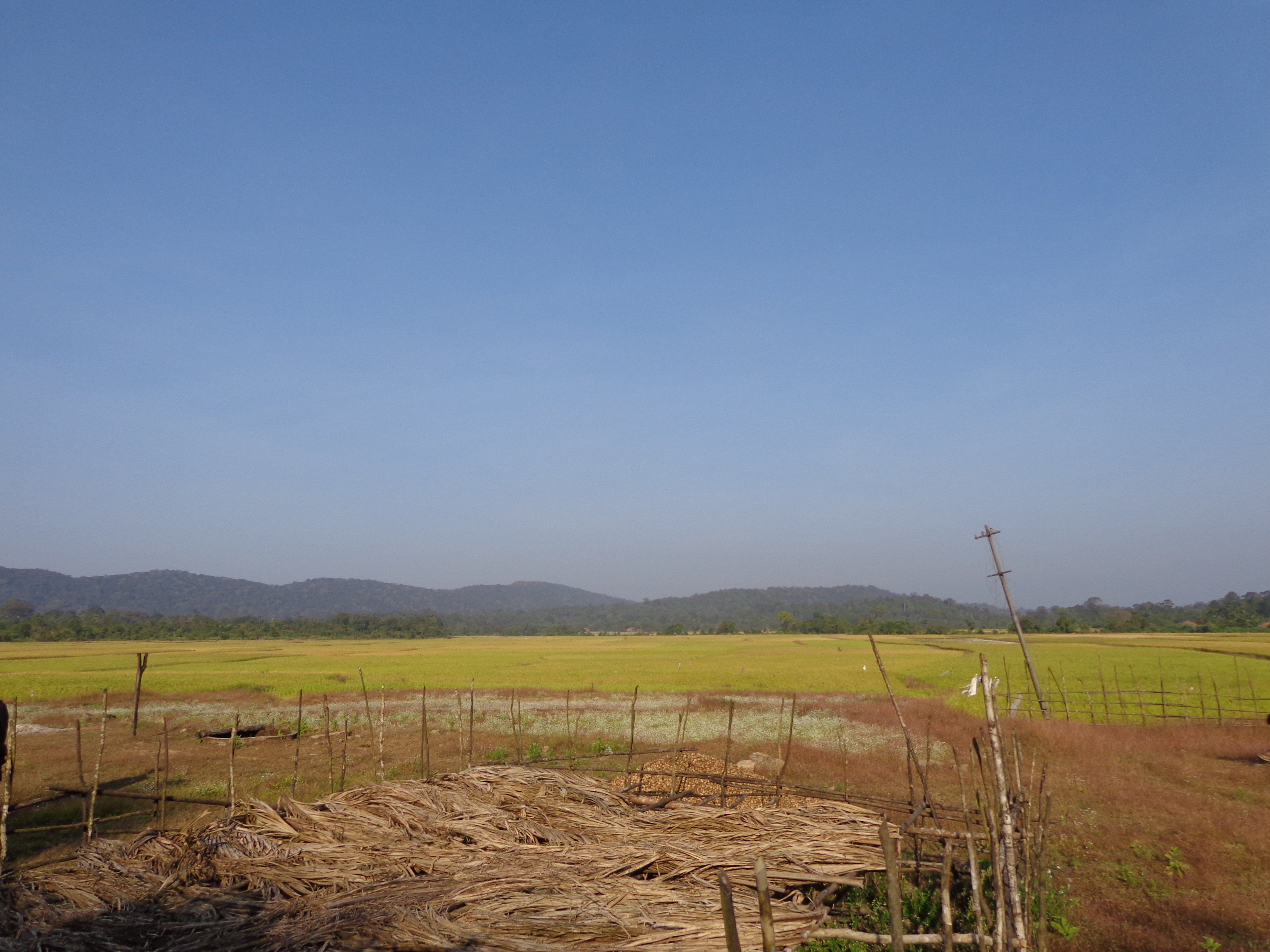
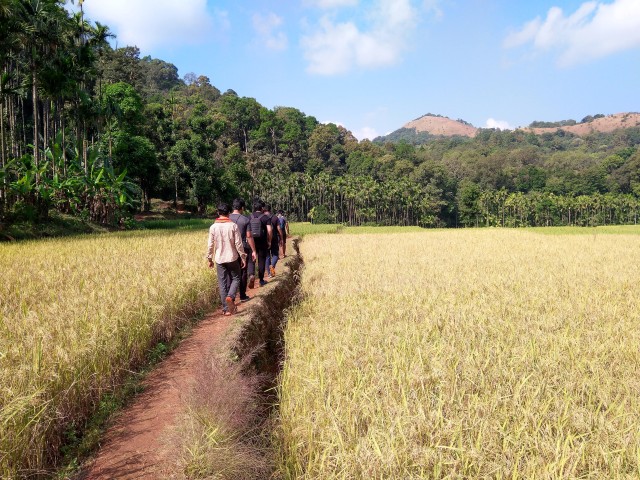
We sat for a while and continued on the trek path behind the house on the edge of paddy fields and into the forest again.
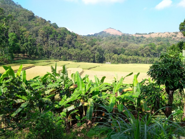
Beautiful paddy fields
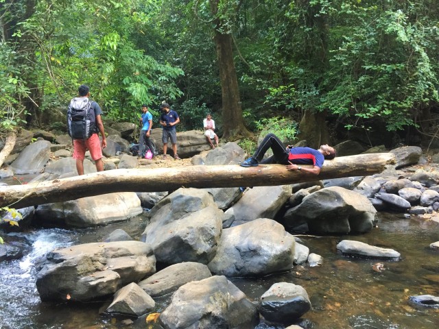
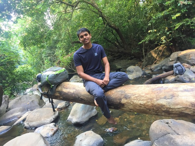
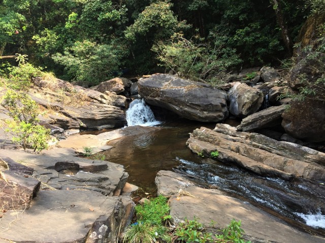
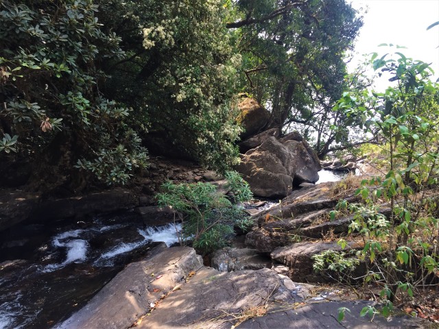
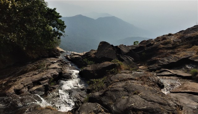
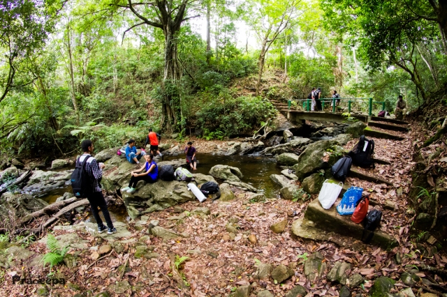
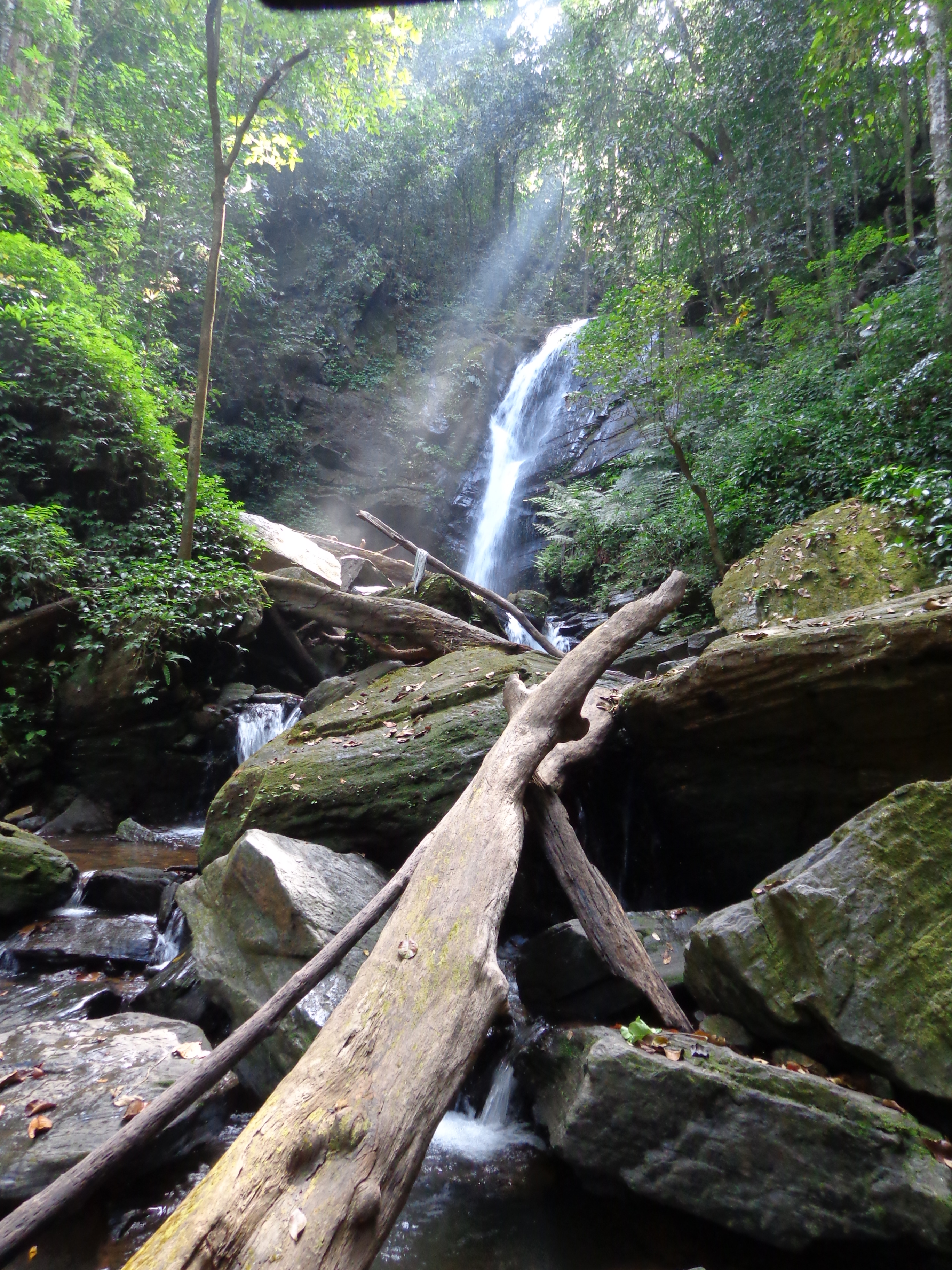
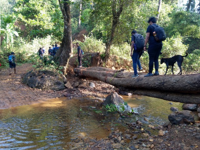
It was just around a half hour’s easy trek into the jungle when we reached a stream with small waterfalls.
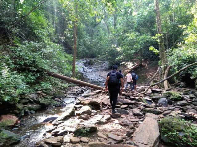
Streams start!
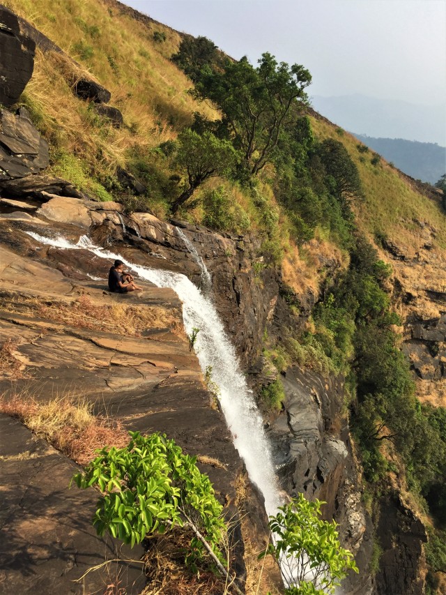
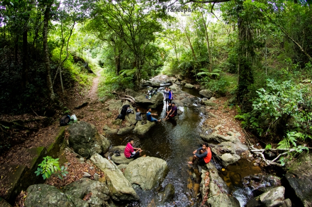
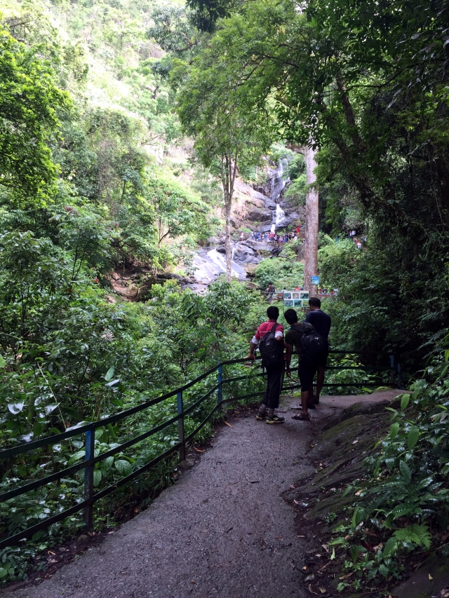
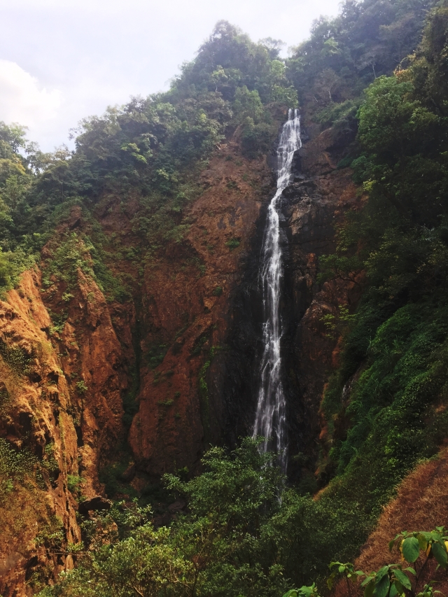
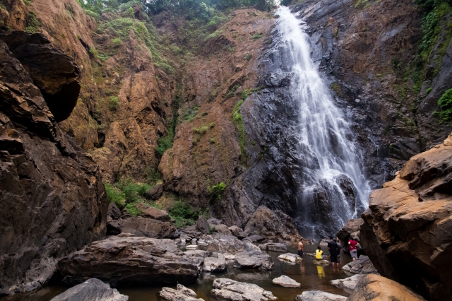
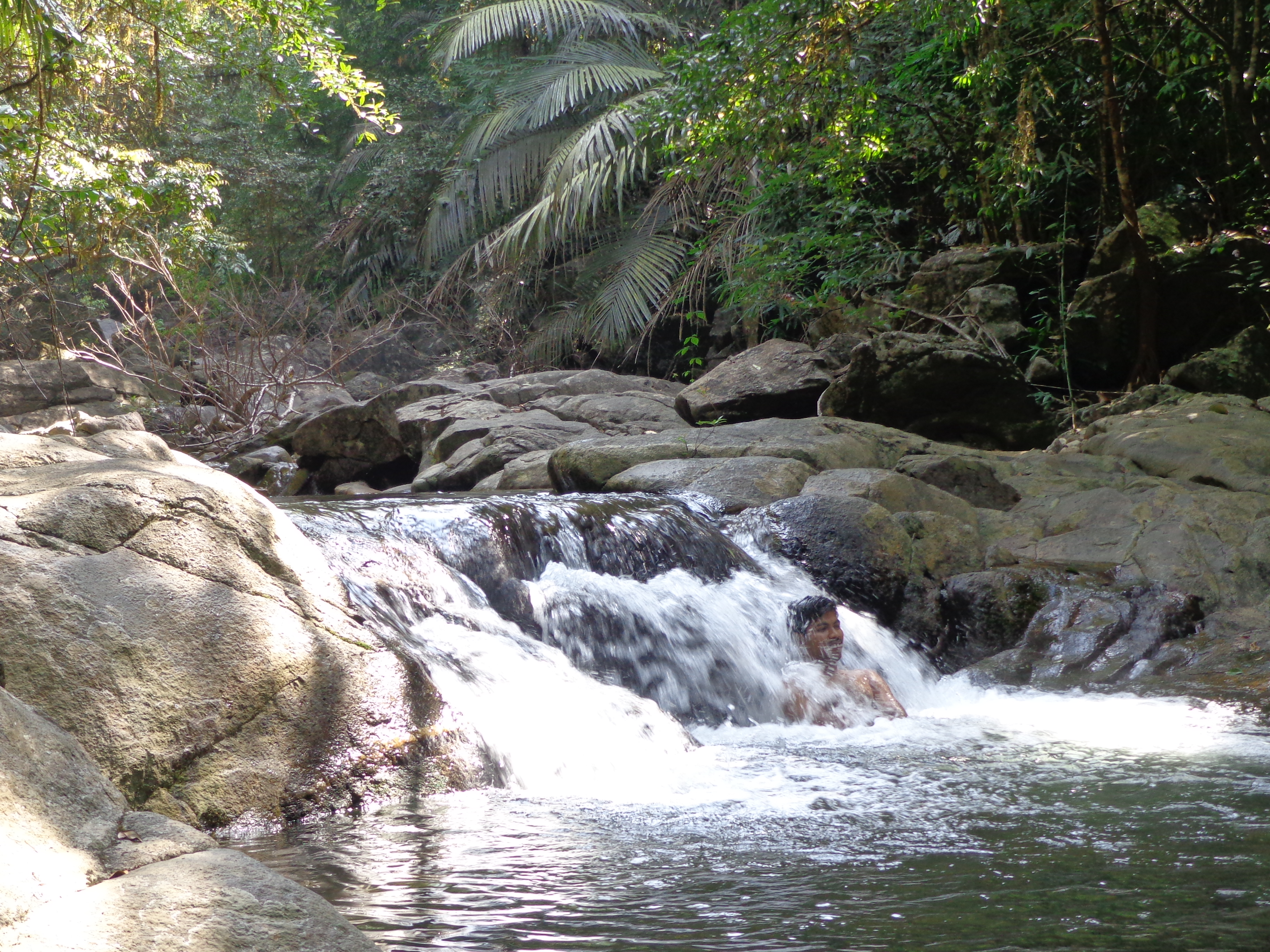
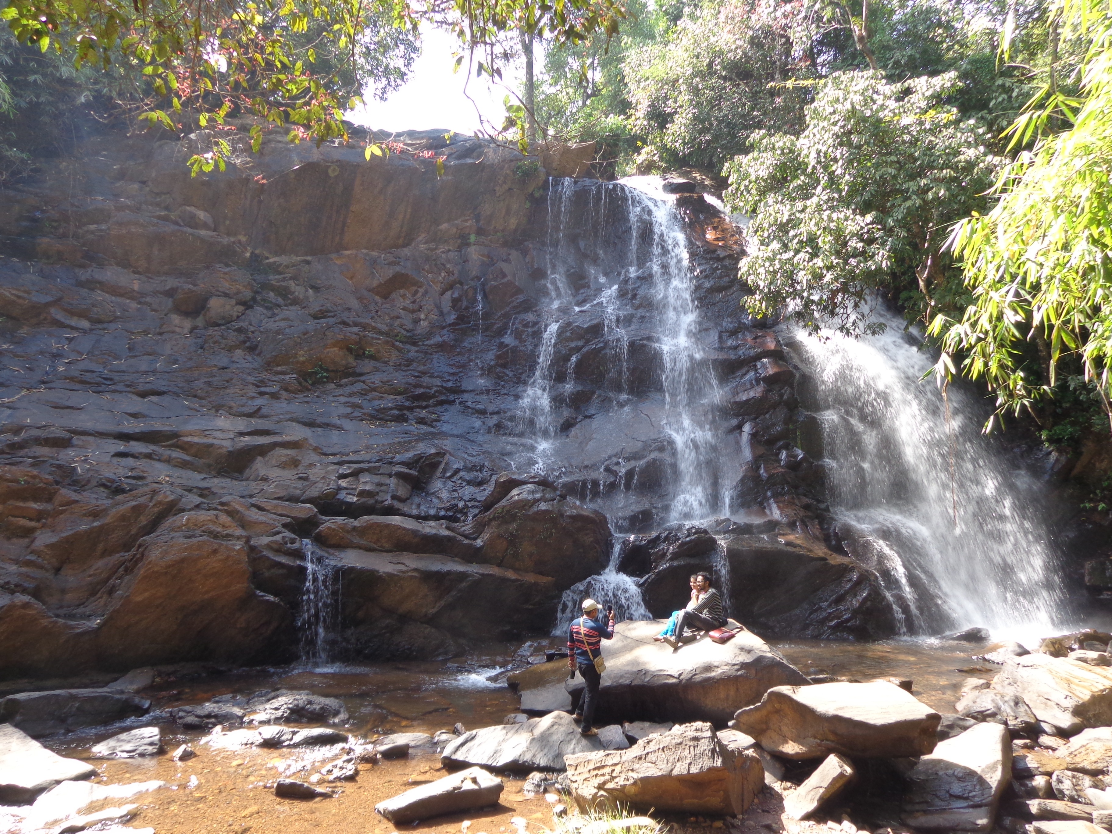
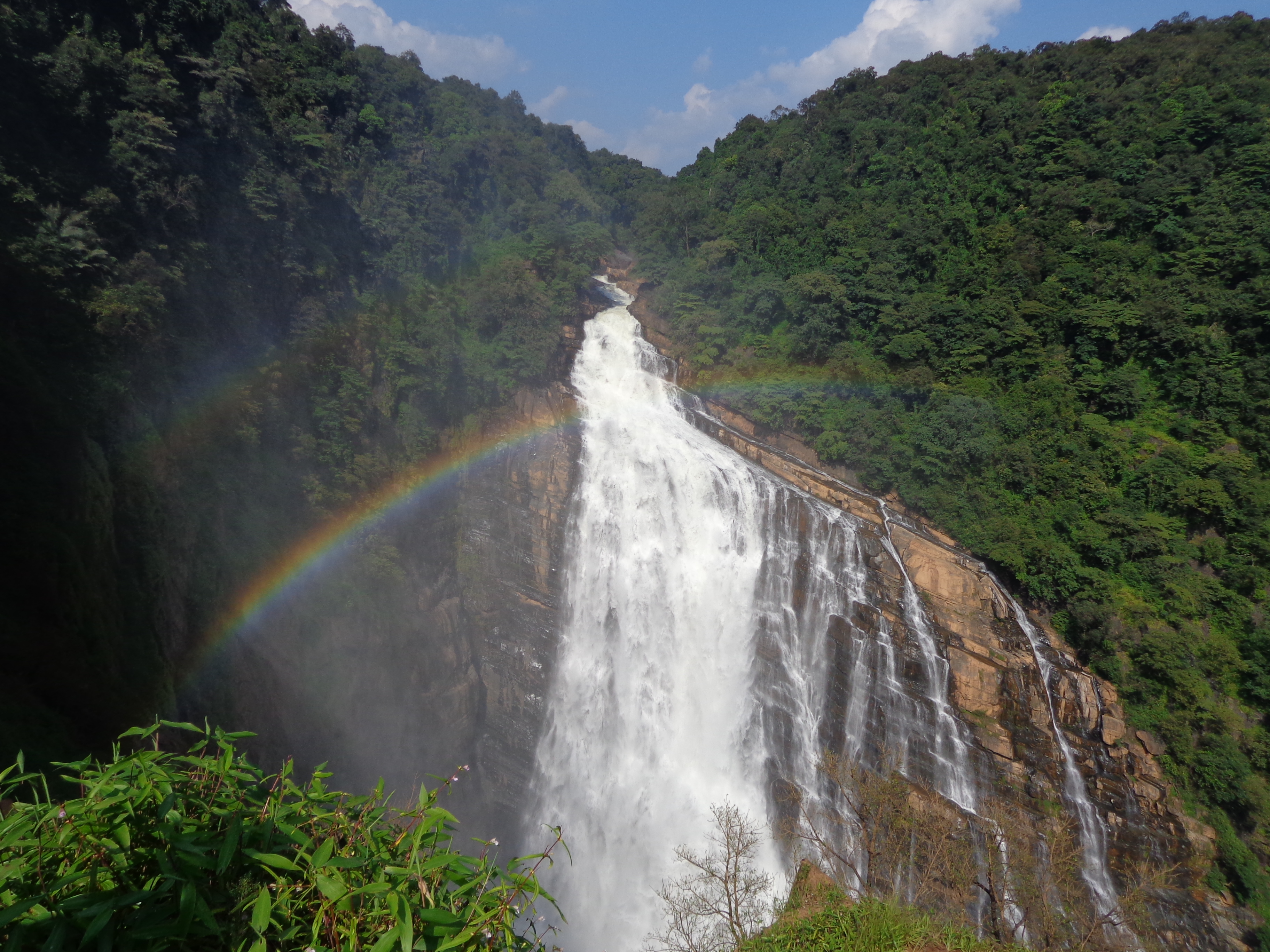
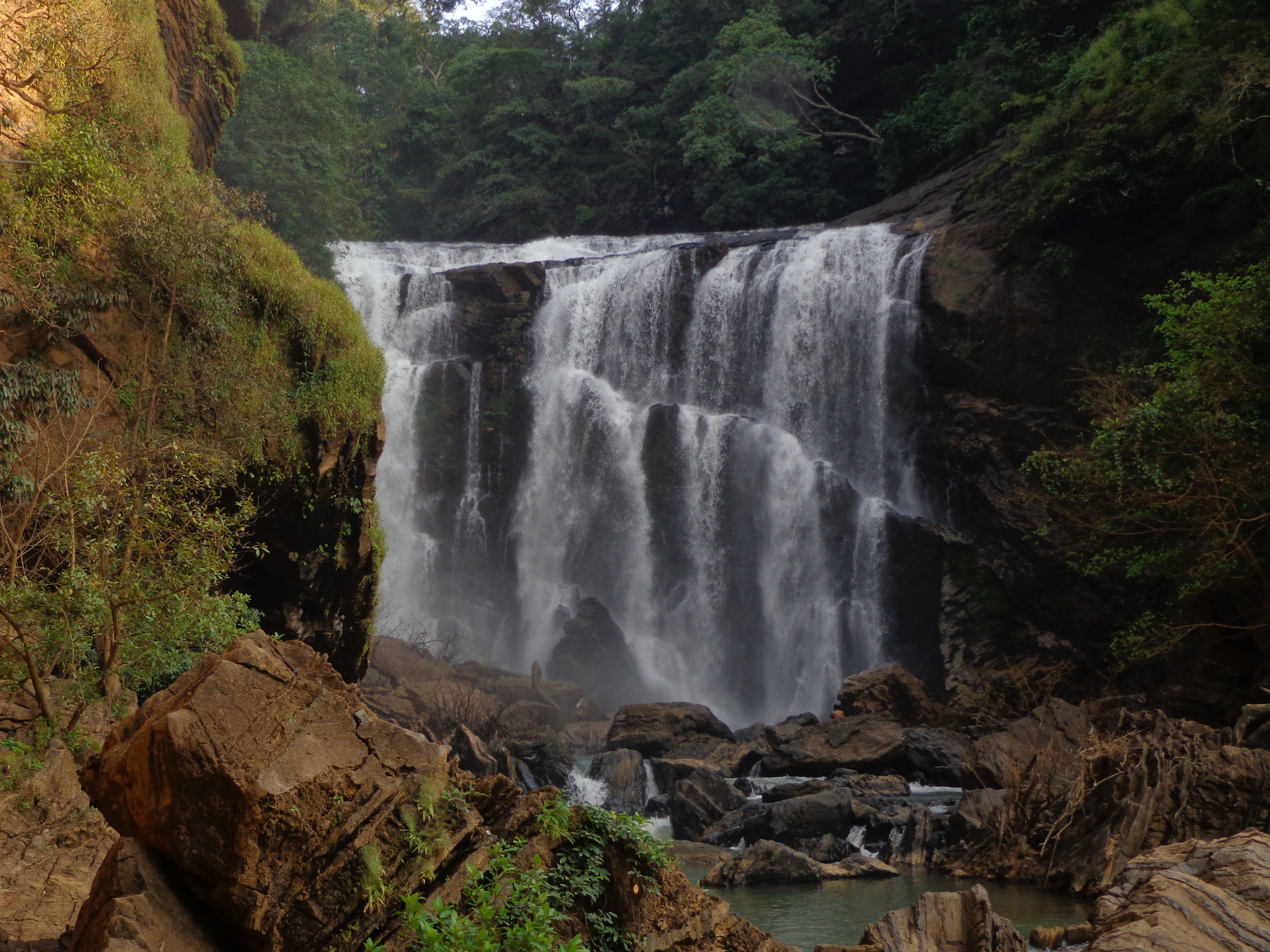
We walked along the stream, scampered on the rocky bed and within another half an hour, we reached the main waterfall – The Hidlumane waterfall. Though it was not flourishing, it was a beautiful sight. since this waterfall was not easily accessible, it was mostly in its natural form. We were lucky that we were the first group to reach the waterfall. We got around 15 minutes of private time with the waterfall and the boys made full use of it. Within half an hour, there were at least 50 people in and around the waterfall.
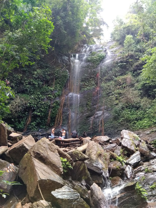
Hidlumane waterfall
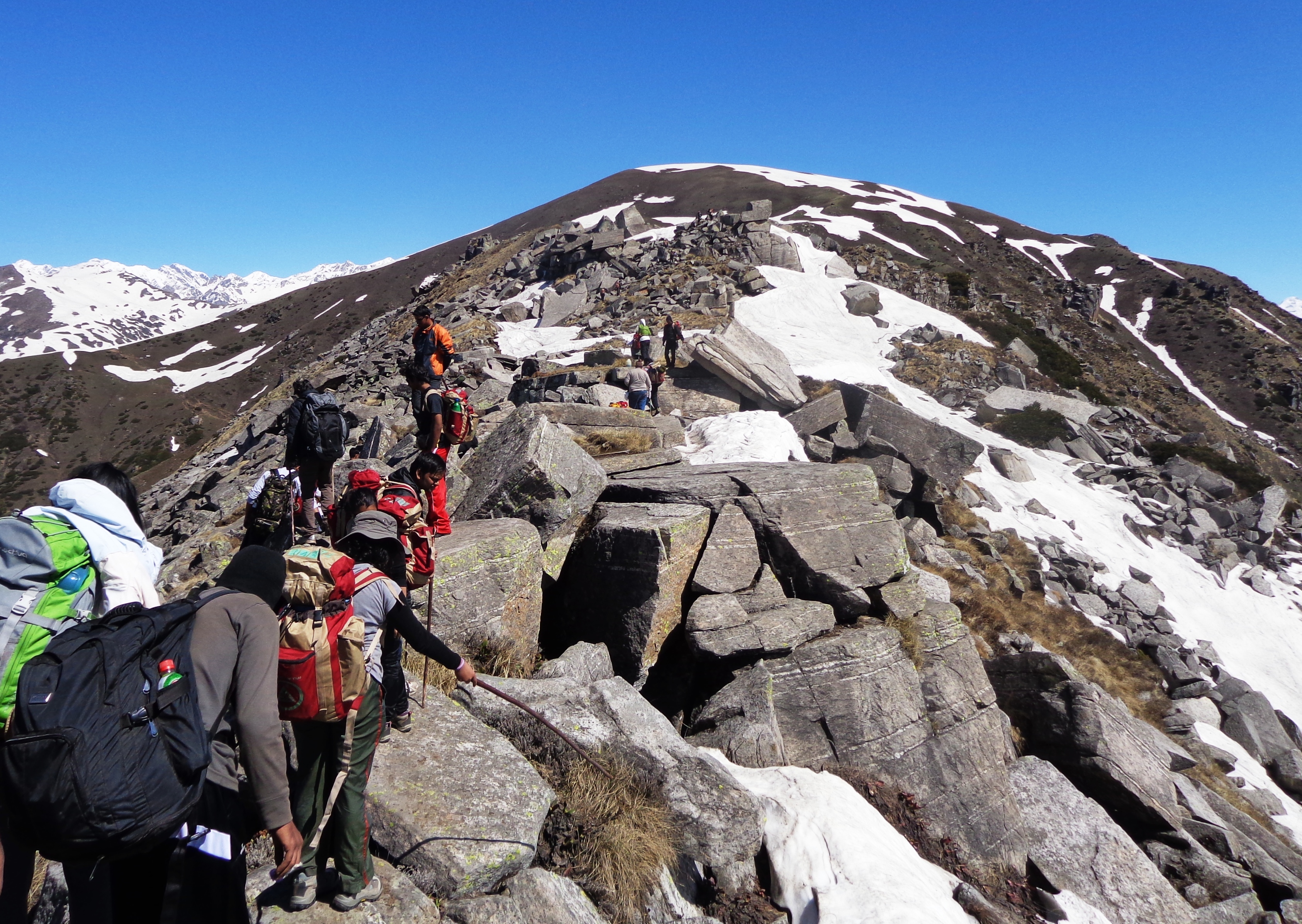
We spent around 45 minutes near the waterfall. The other group of 3 trekkers were still in water and refused to come out. This is when we realized our mistake and we decided to go ahead on the trek path without the guide. The guide told us that the path was not confusing and there were many trekkers already on the path ahead of us. The immediate path from the waterfall was quite a steep one. We frequently were on all fours, gripping the roots of trees and sometimes found ourselves on the edge of very narrow-edged rocks looking down the steep valley.
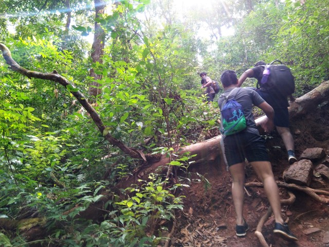
Steep ascent from waterfall
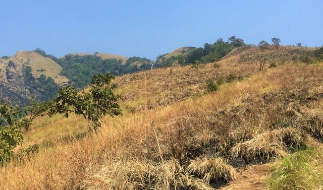
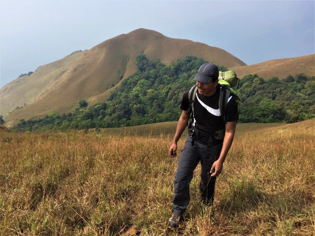
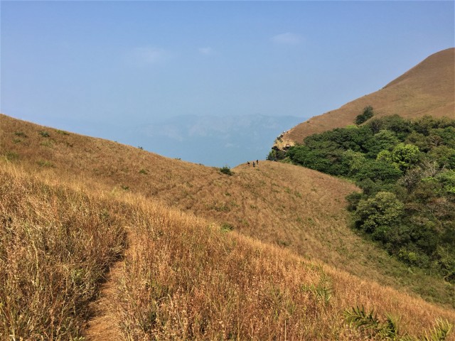
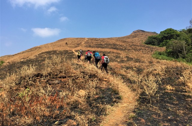
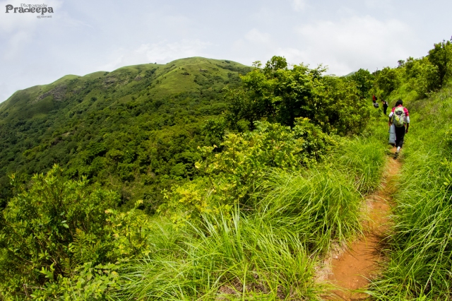
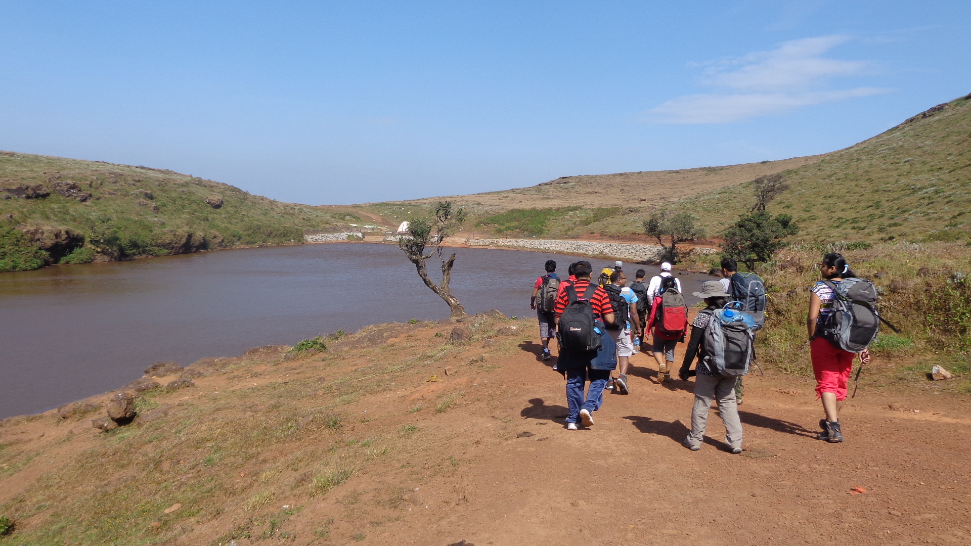
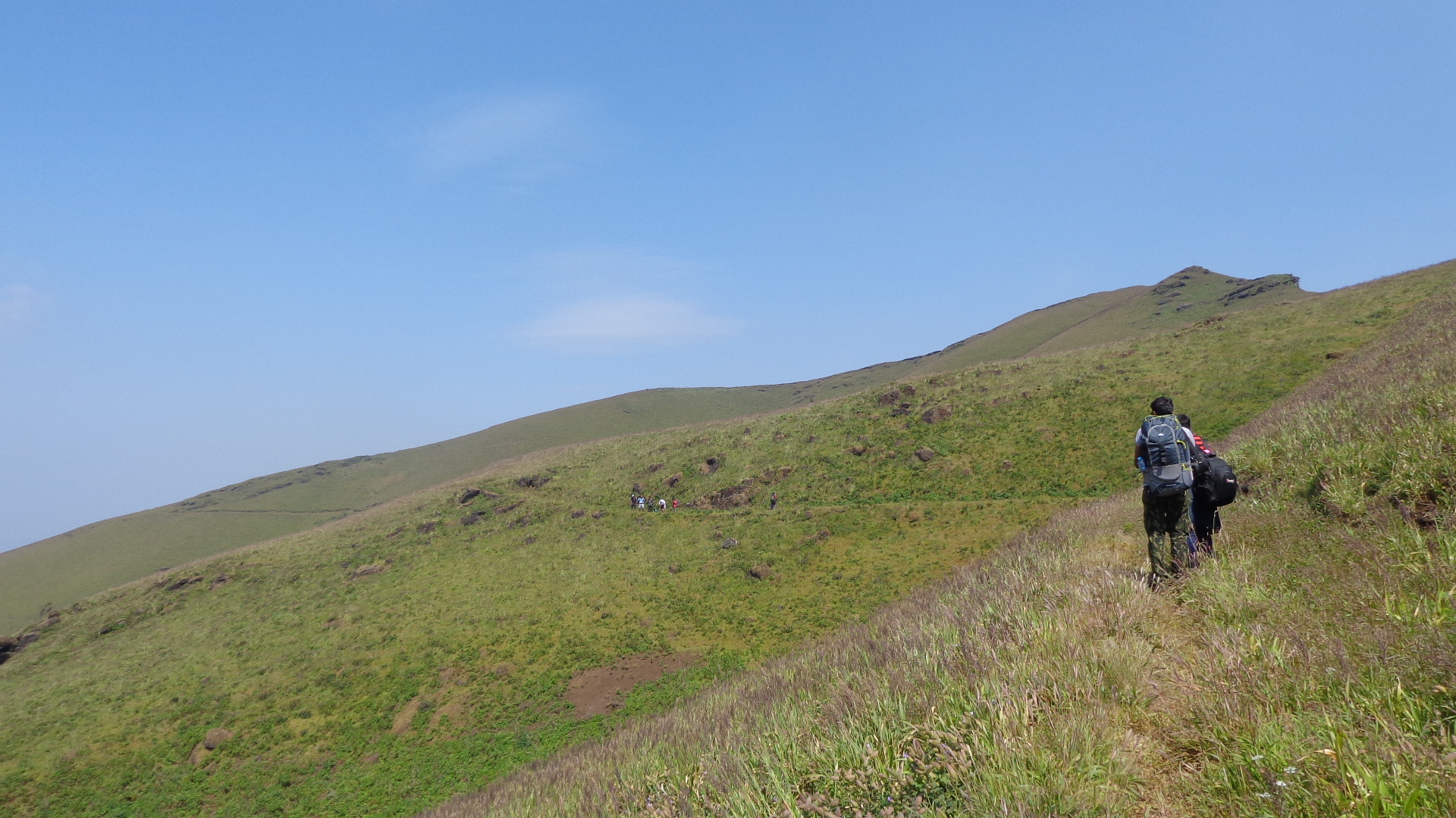
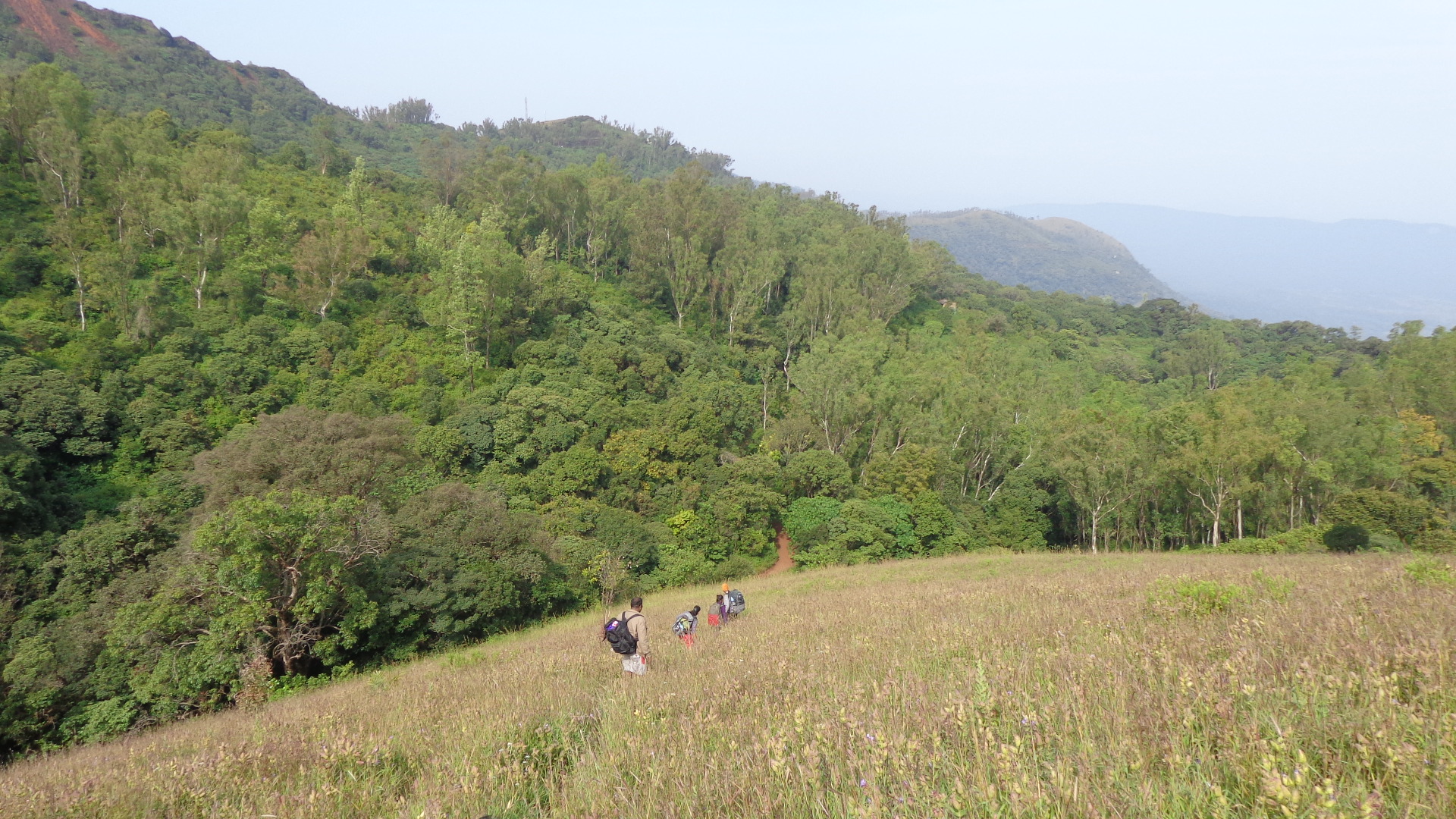
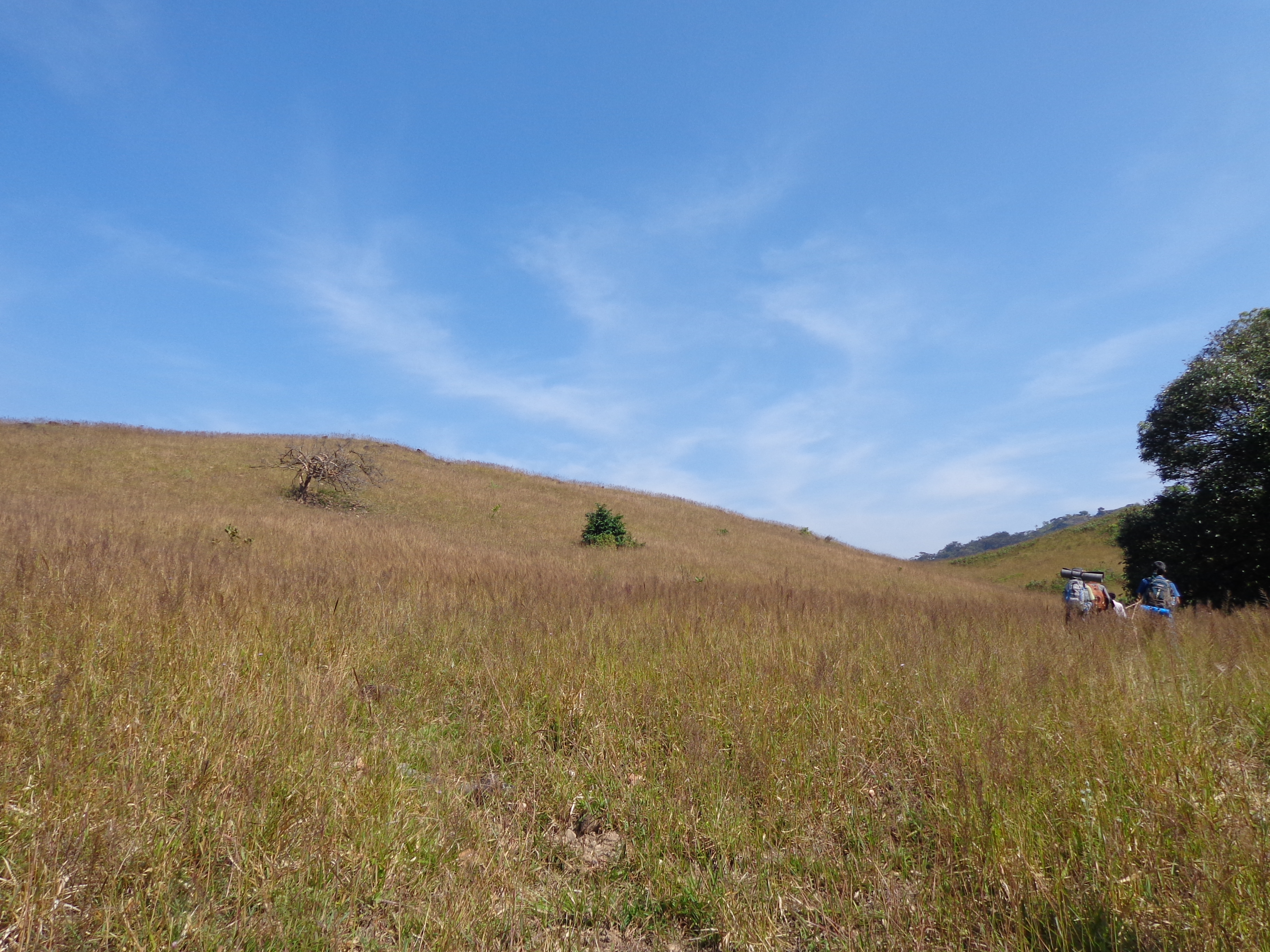
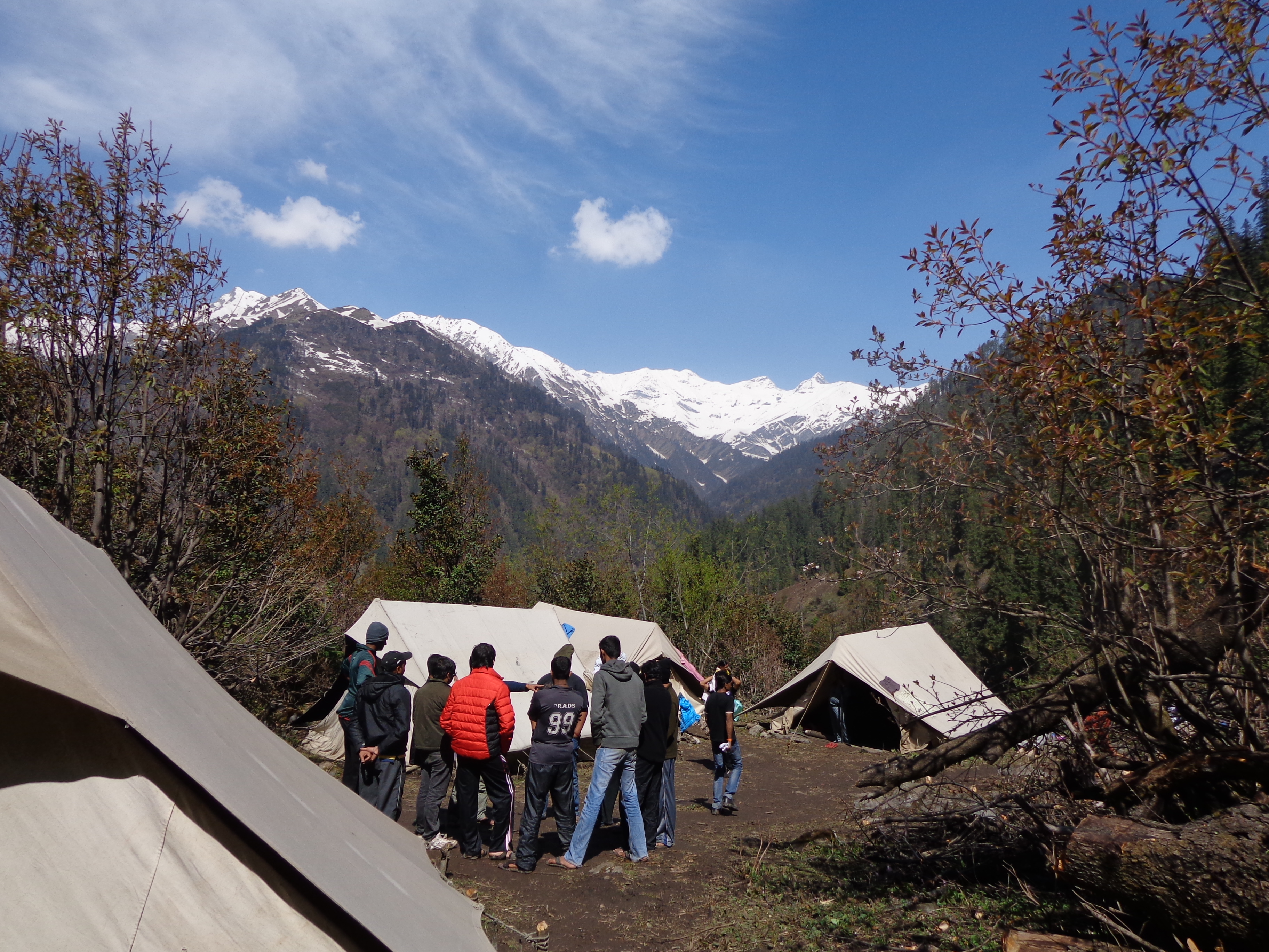
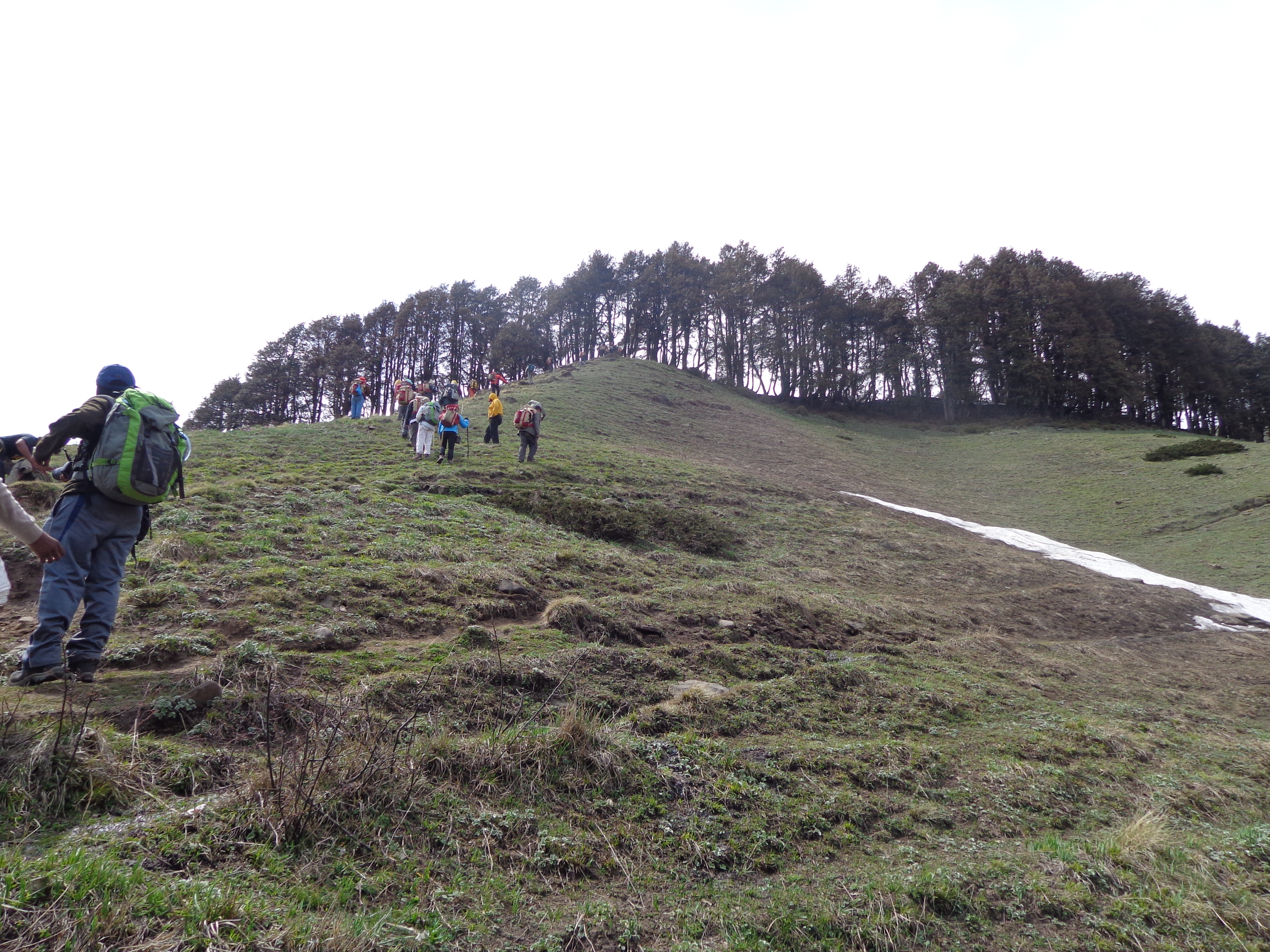
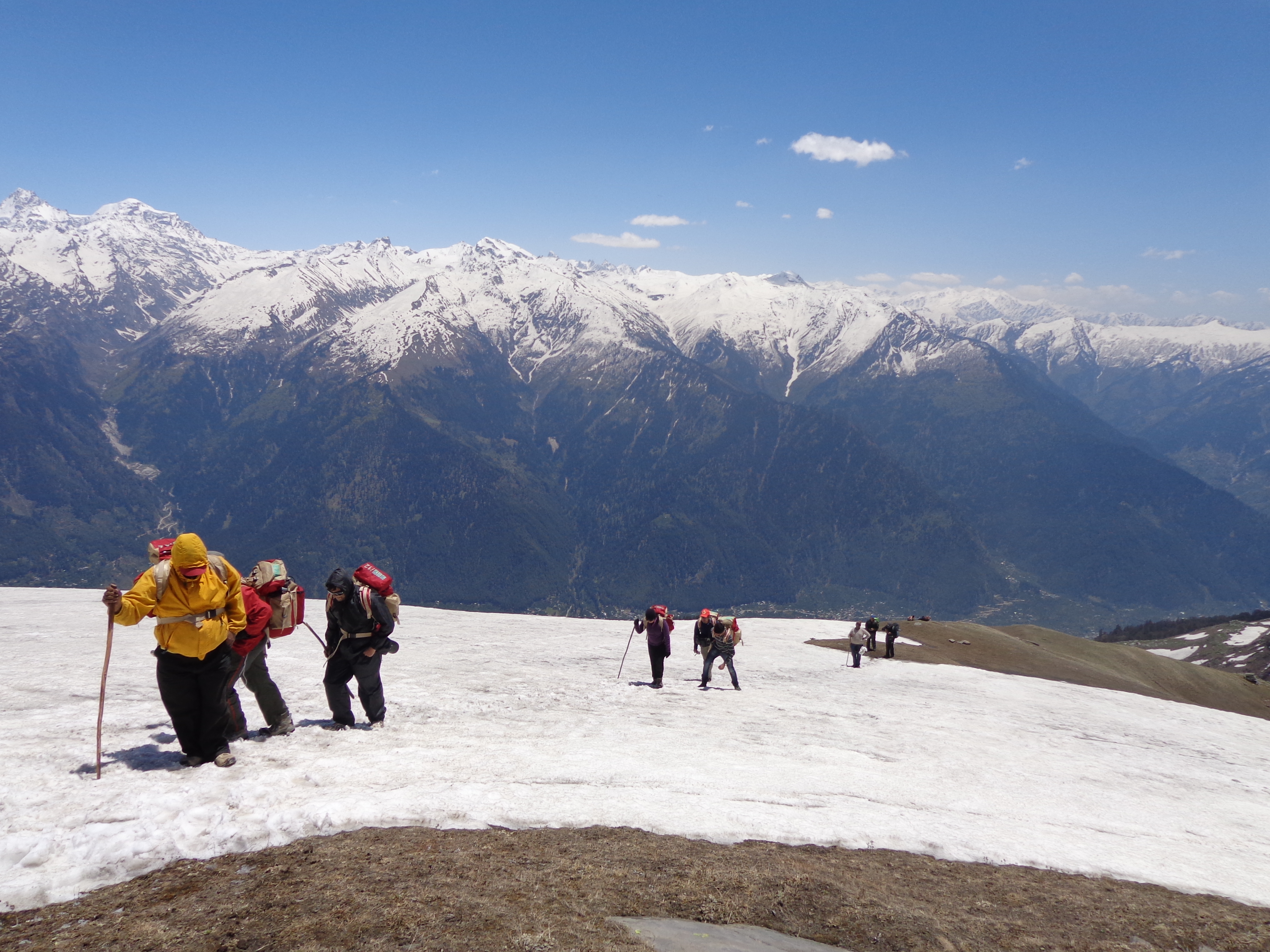
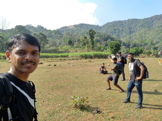
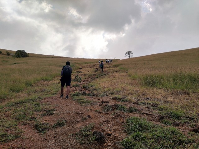
After around 45 minutes of steep climb, we reached the grasslands. The sun was right in the middle of the sky now and we immediately felt the scorching heat.
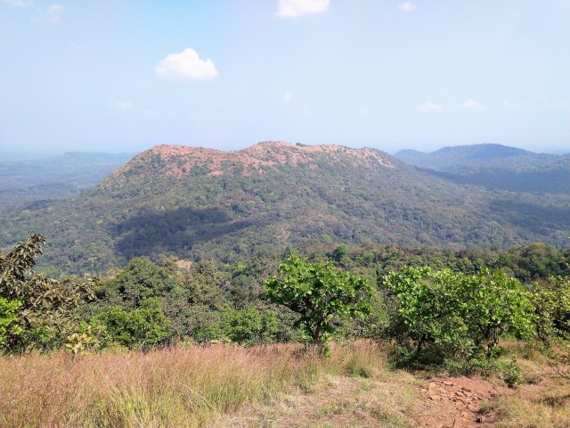
We reach the grassland after jungles!
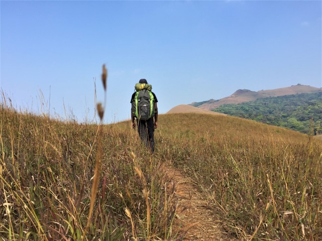
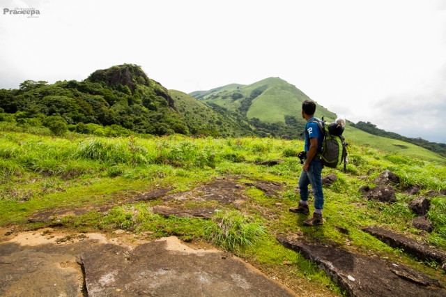
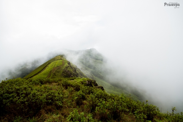
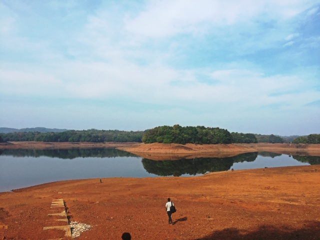
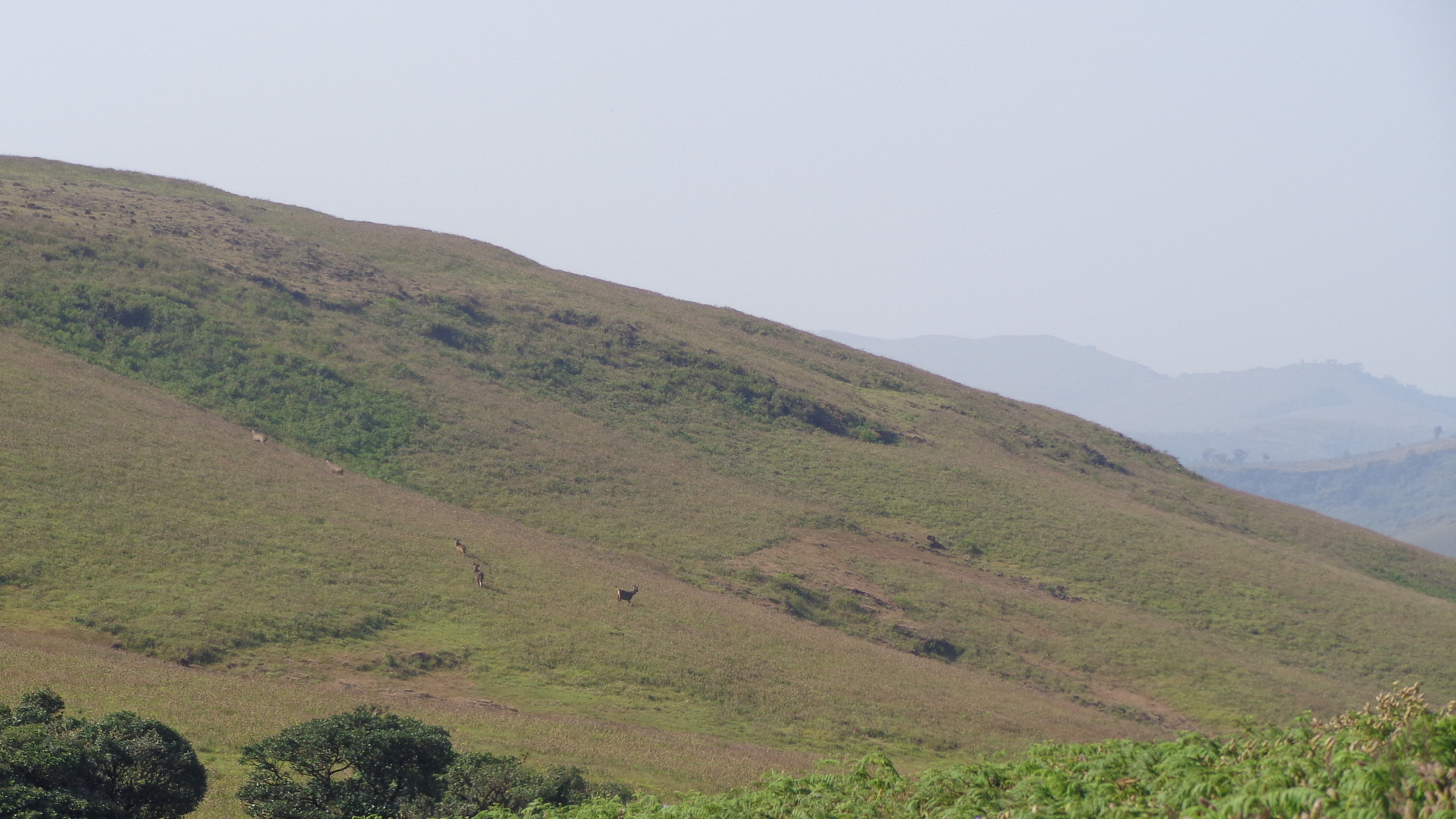
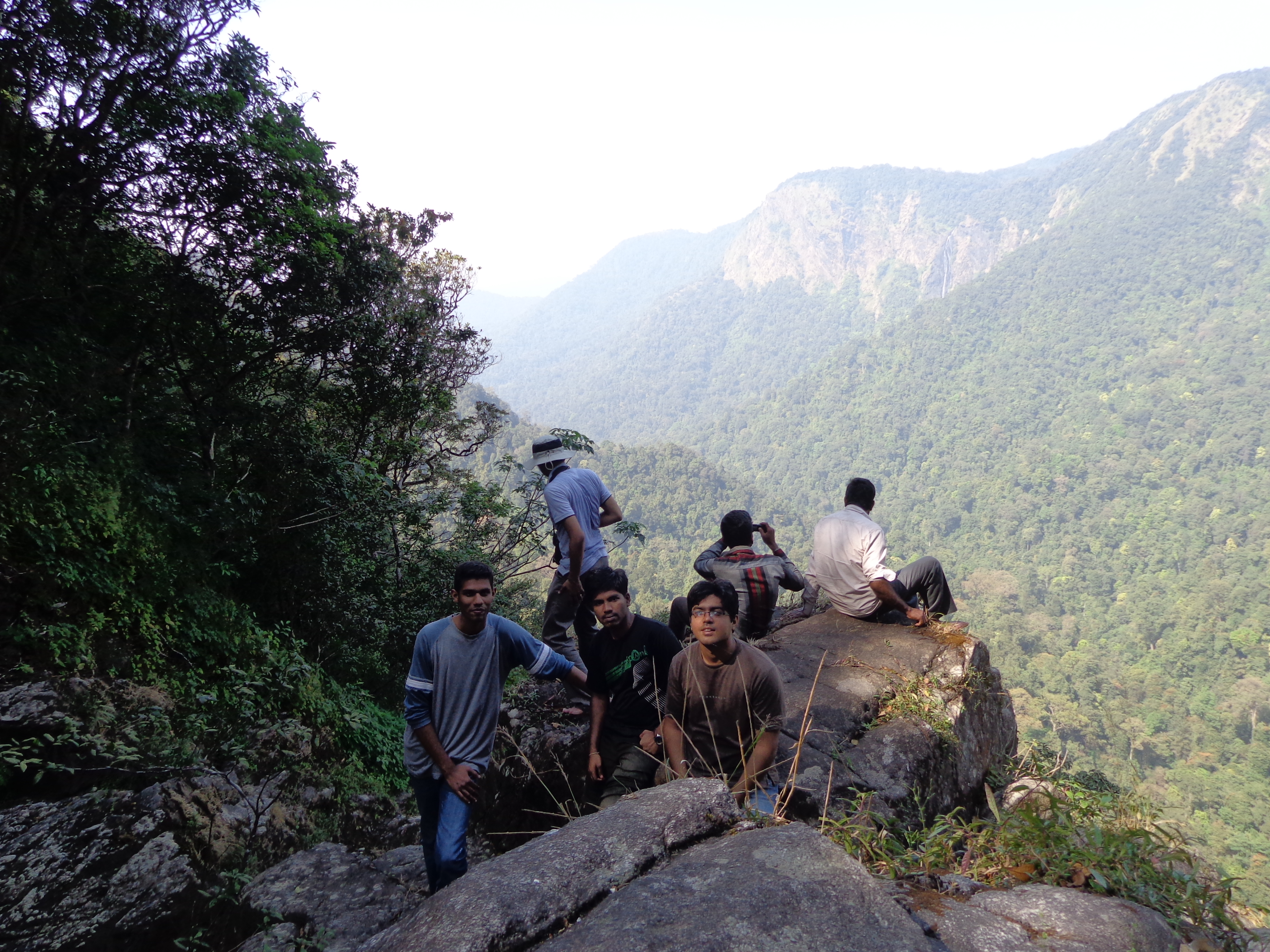
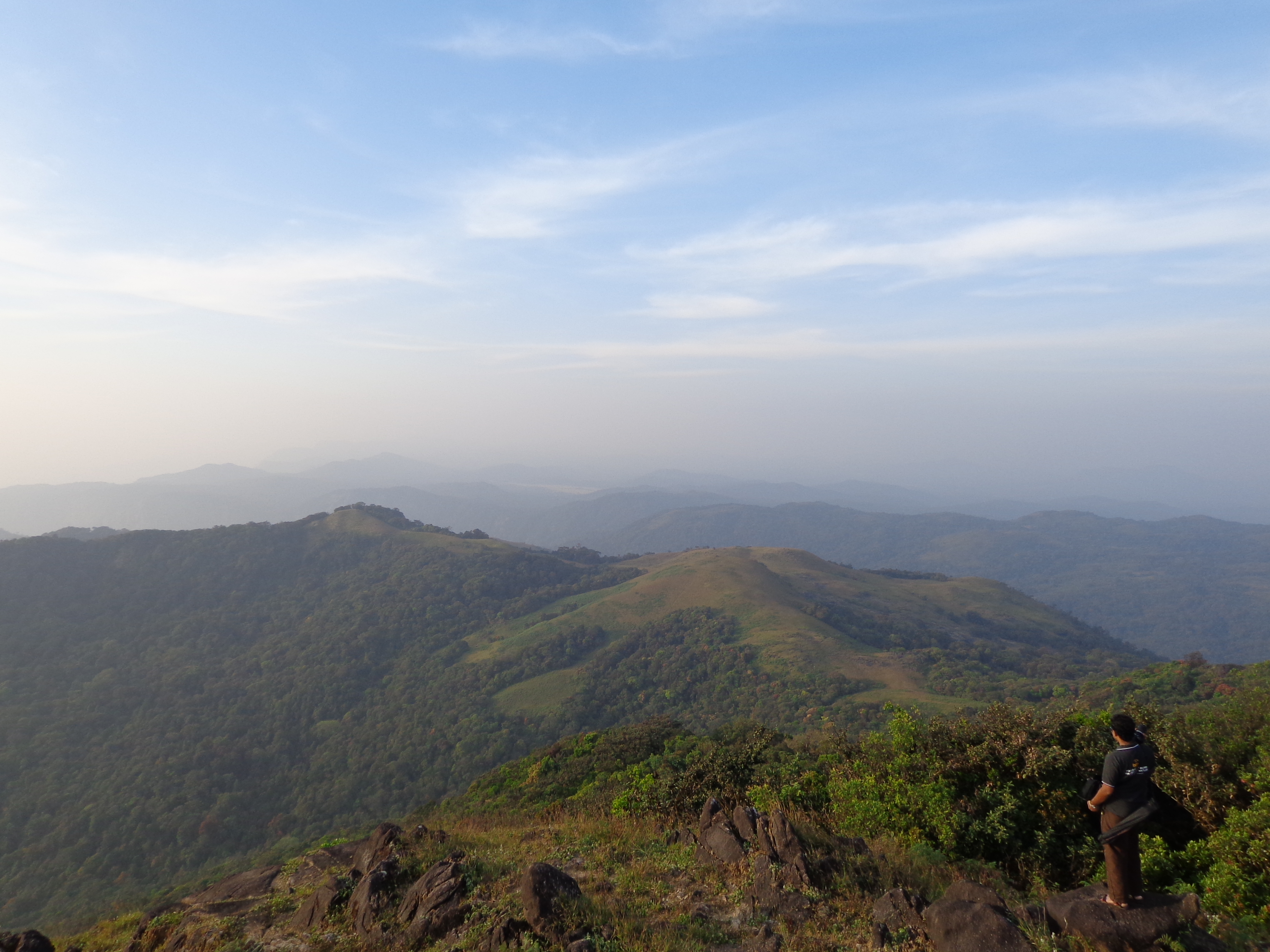
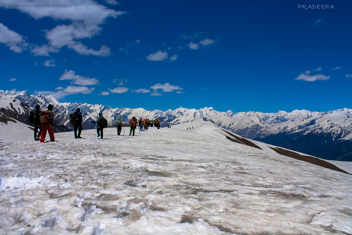
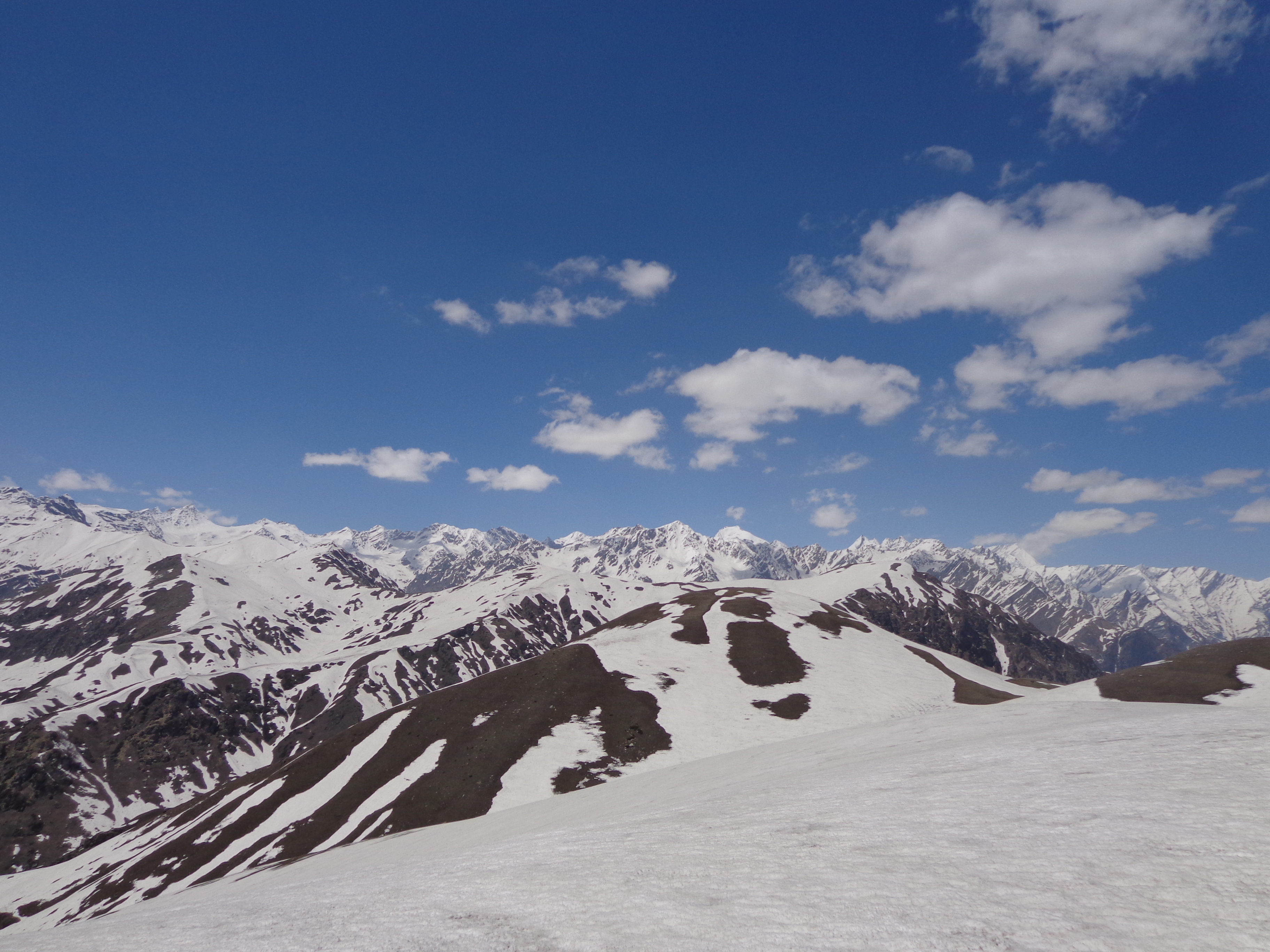
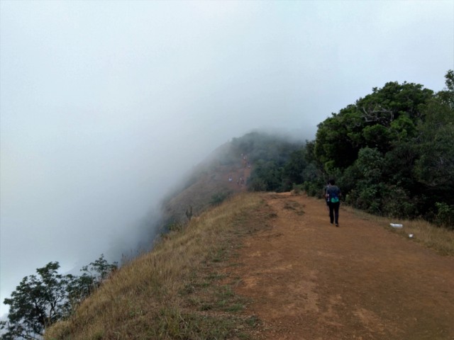
It was a not-so-steep but constant ascent for around 20 minutes from here to reach the top of the grasslands. From here, we had 360 degree view of the kodachadri valleys with jeep track on one side and the dense jungles (that we had just traversed) on the other.
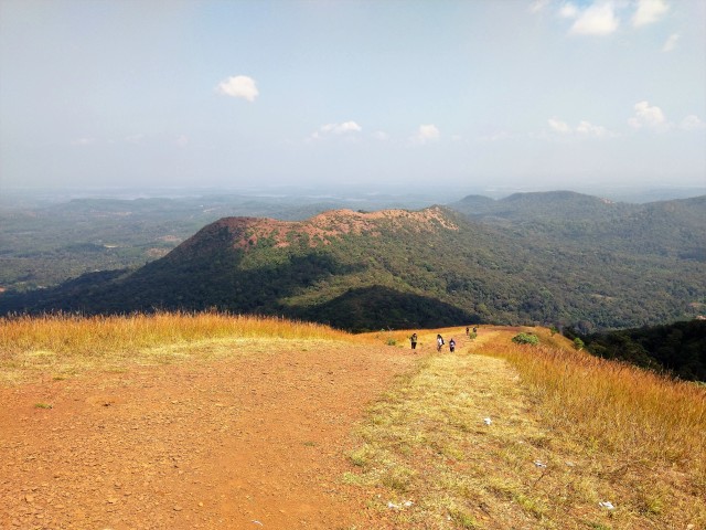
Top of grassland
Jeep track in view!
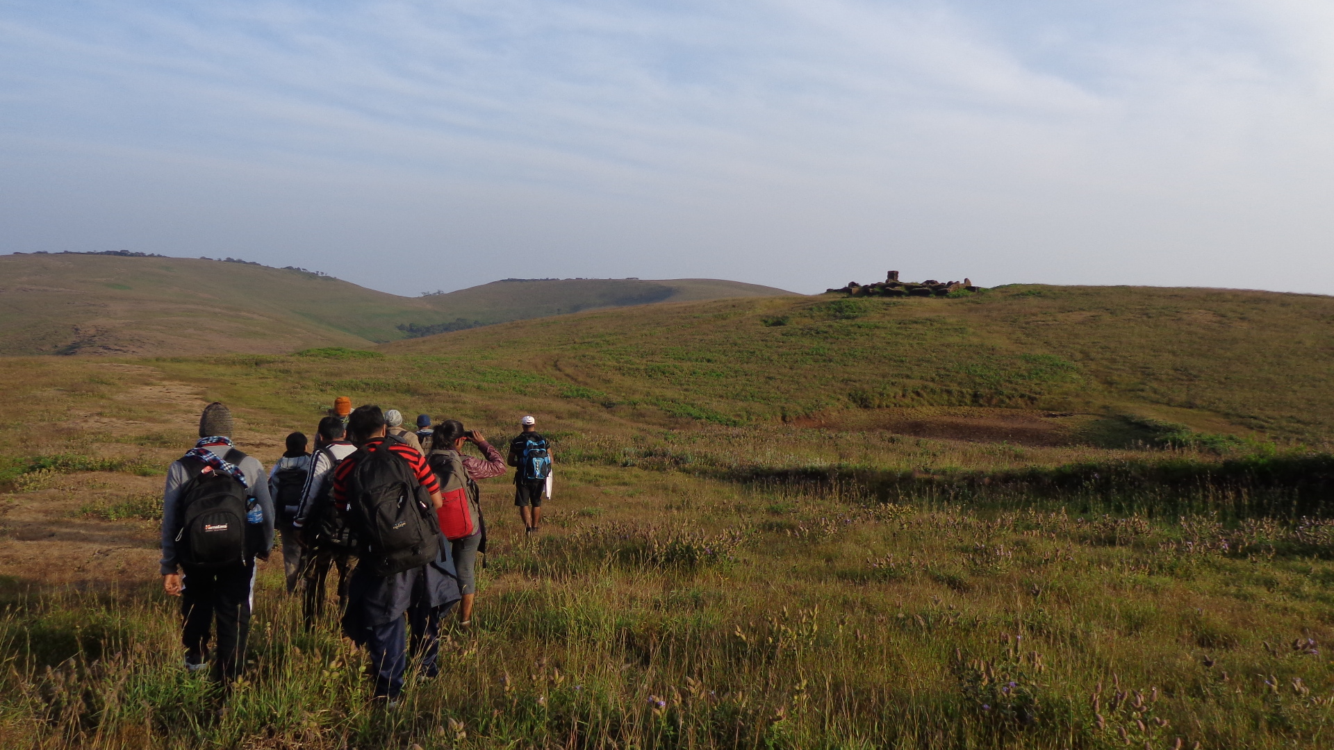
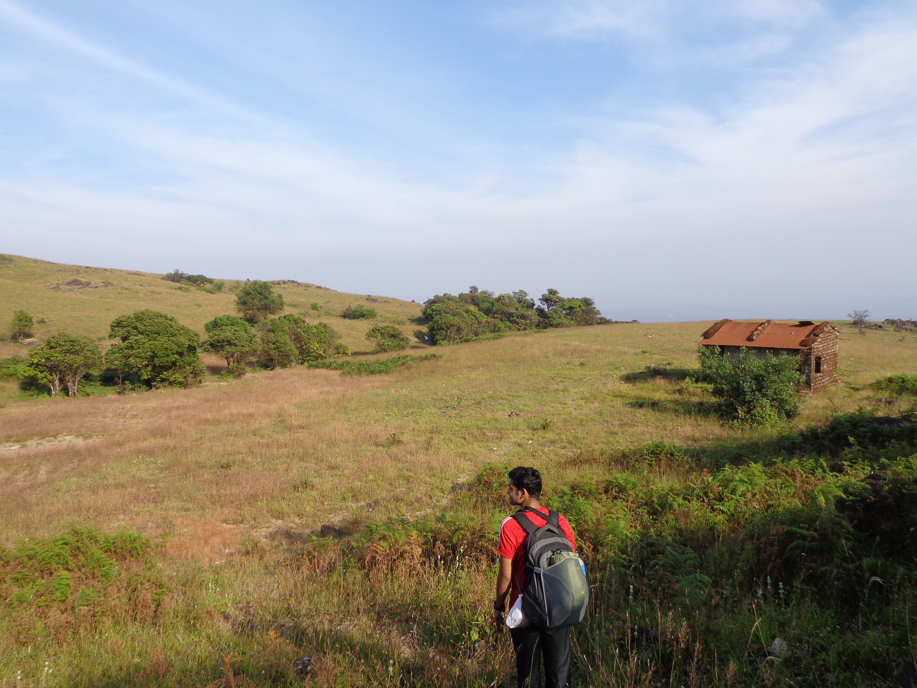
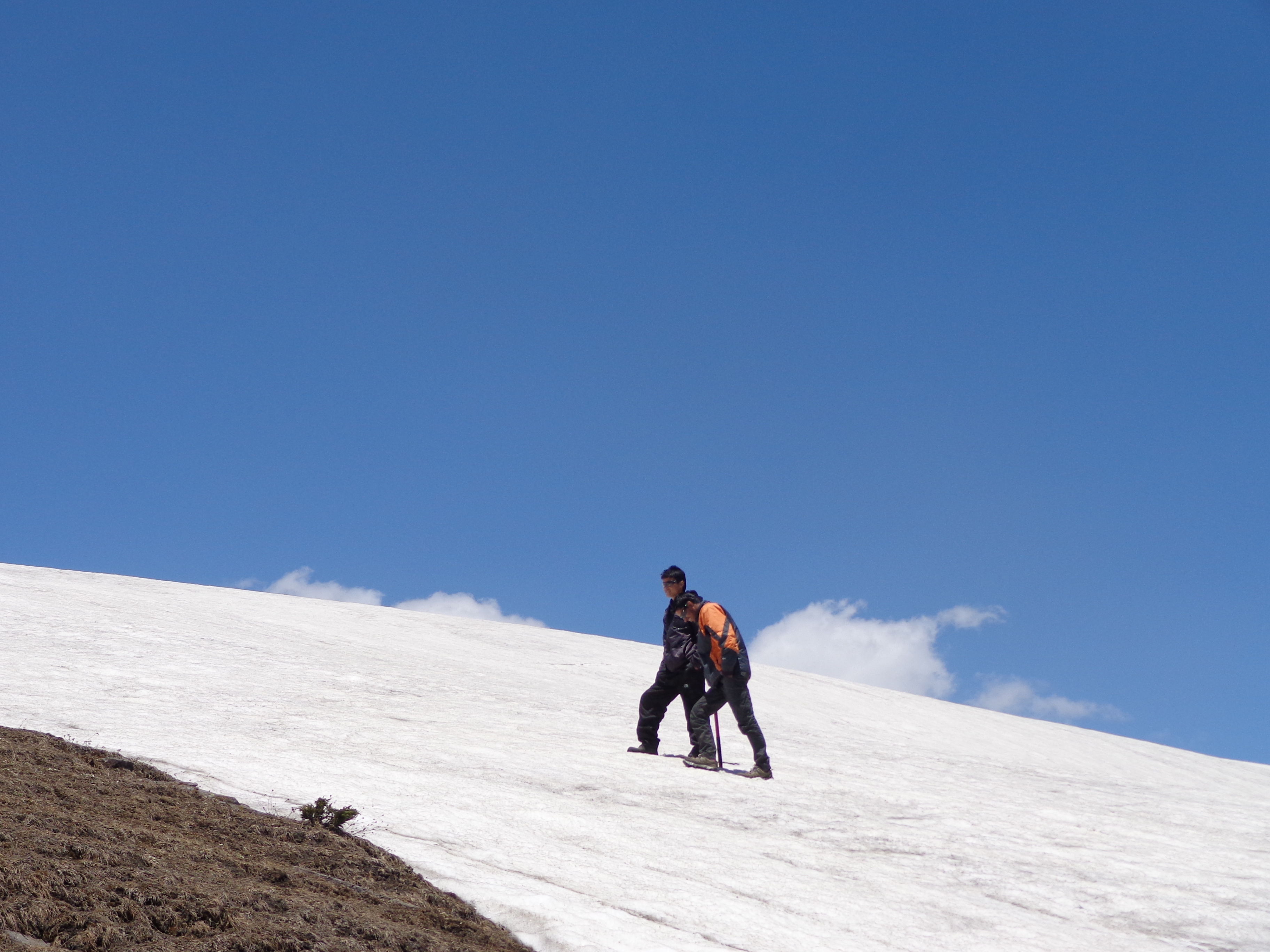
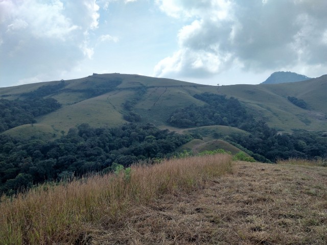
We had to descend into the valley for around 10 minutes from here. There was a spring here and we filled our bottles. It was a constant ascent on the grasslands from here to reach the jeep track in about half an hour.
Final ascent towards jeep track
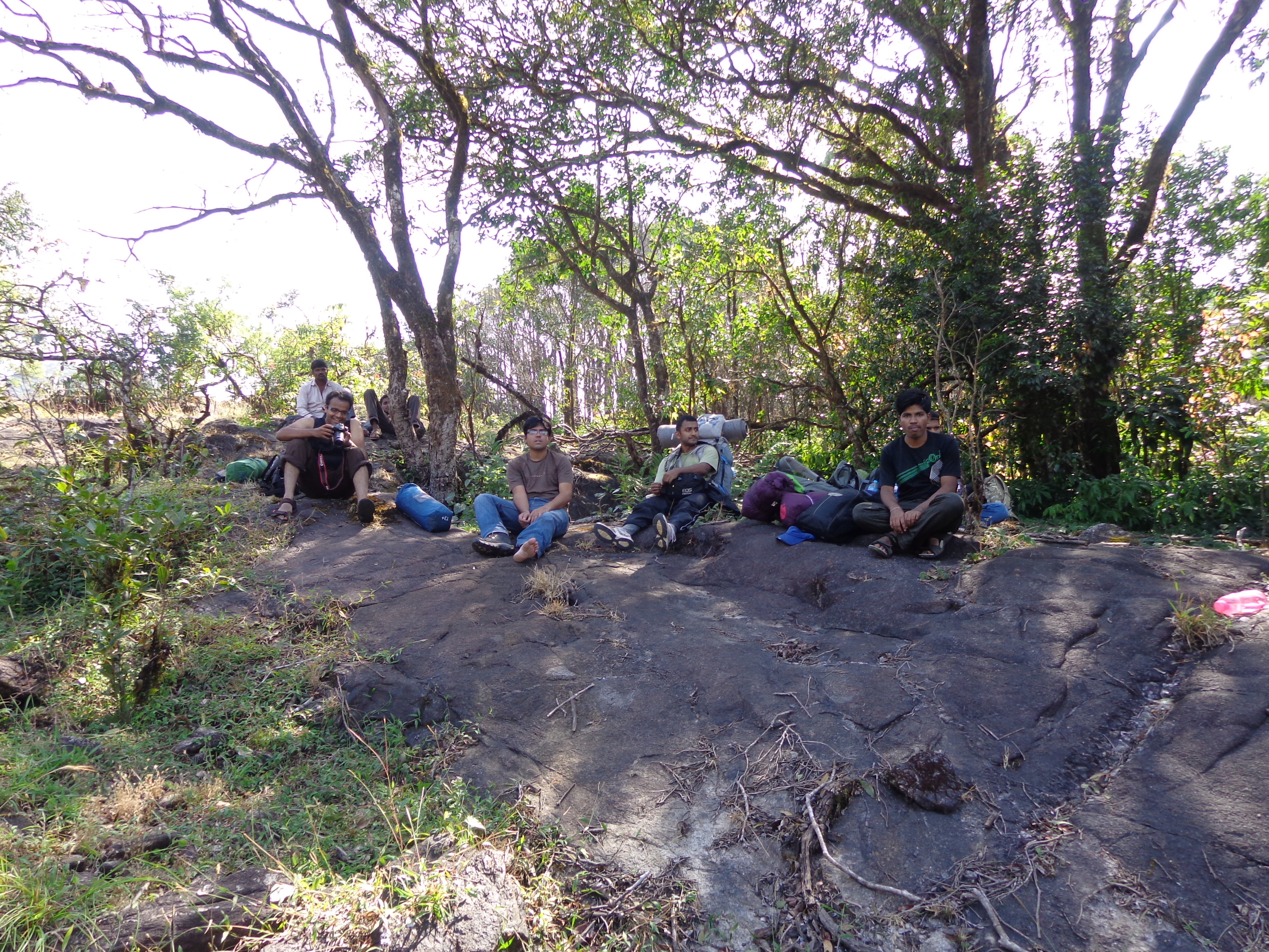
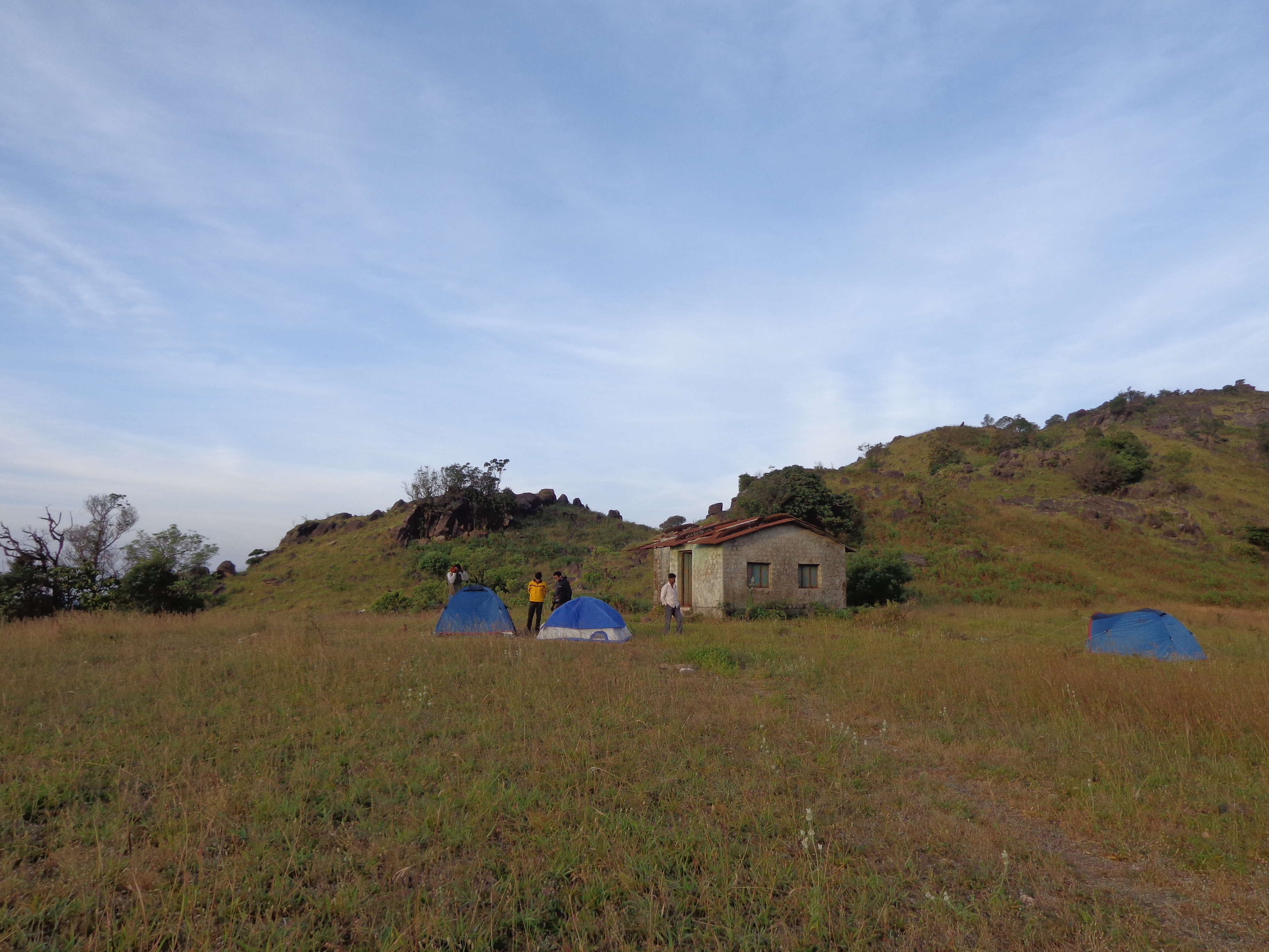
It was 1.30 PM and we had a 2 km walk ahead on the jeep track to reach the Inspection bungalow where we could get our lunch.
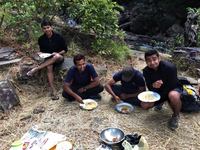
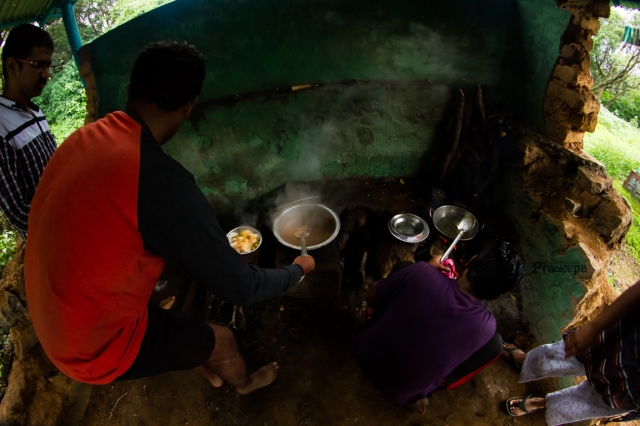
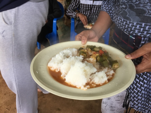
The walk on the jeep track was quite boring and dusty. We reached Inspection bungalow by 2 PM and had lunch (rice, sambar and butter milk).
Lunch point with retro look!
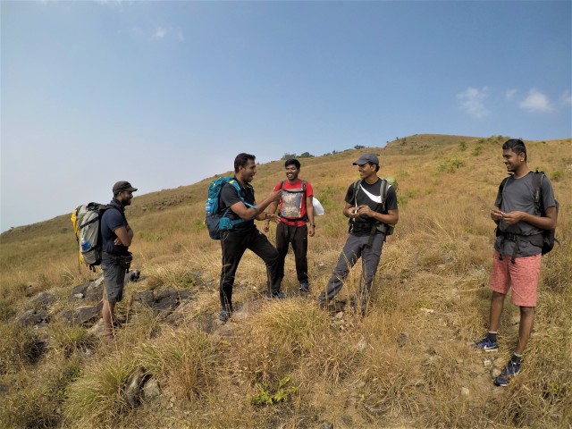
We were ready to go towards the peak but our guide with the other group was still not here. We had to wait for them to tell him to arrange for our jeep.
It was around 3.30 PM by the time we started going towards the peak. The first stop was a temple complext and then the Ganesha cave.
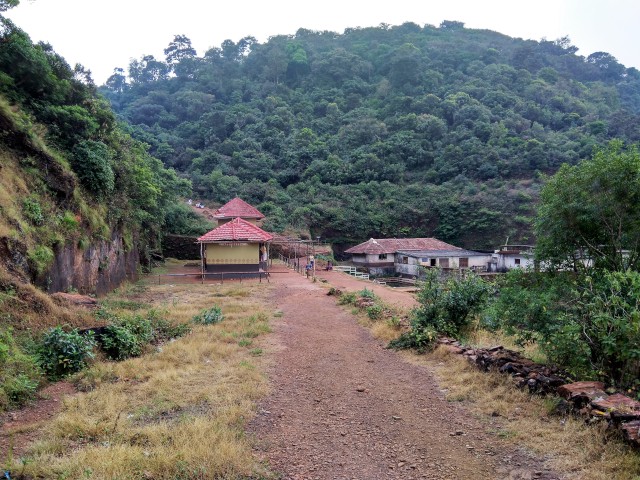
Temple complex
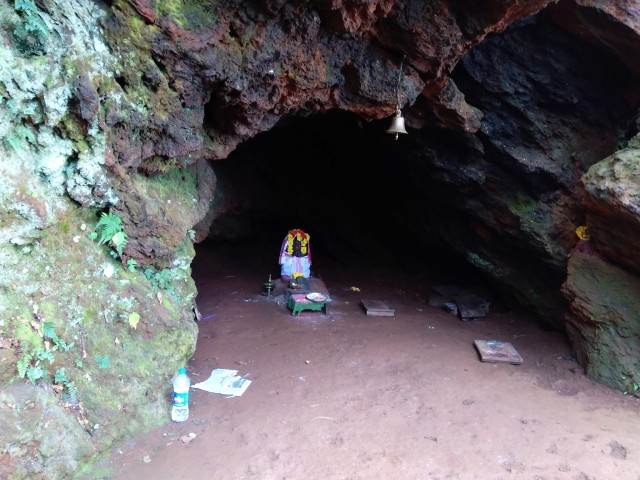
Om Namo Ganeshaya Namaha
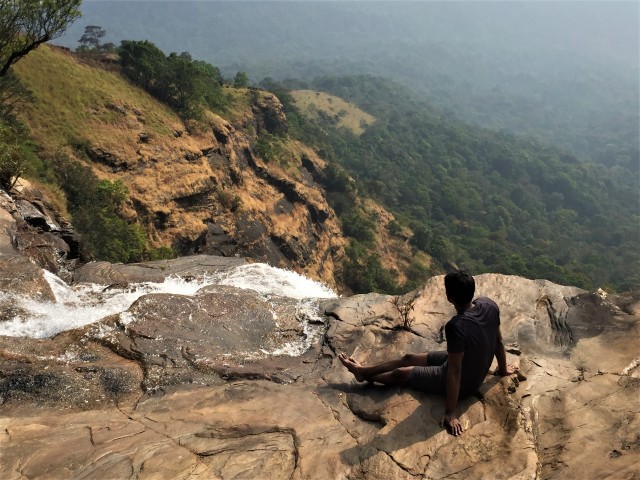
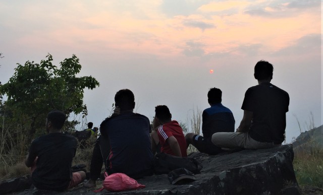
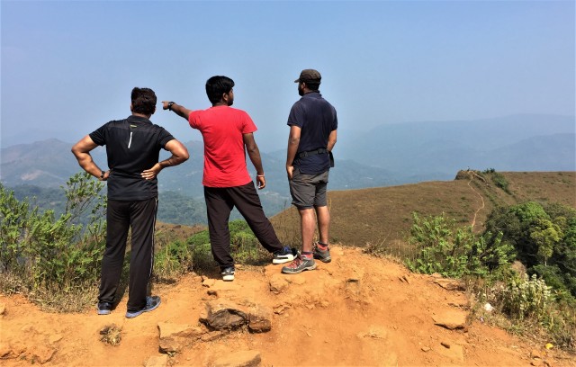
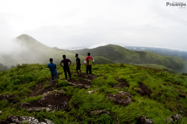
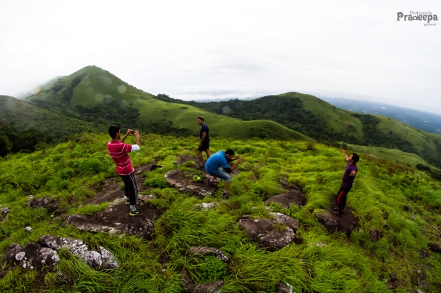
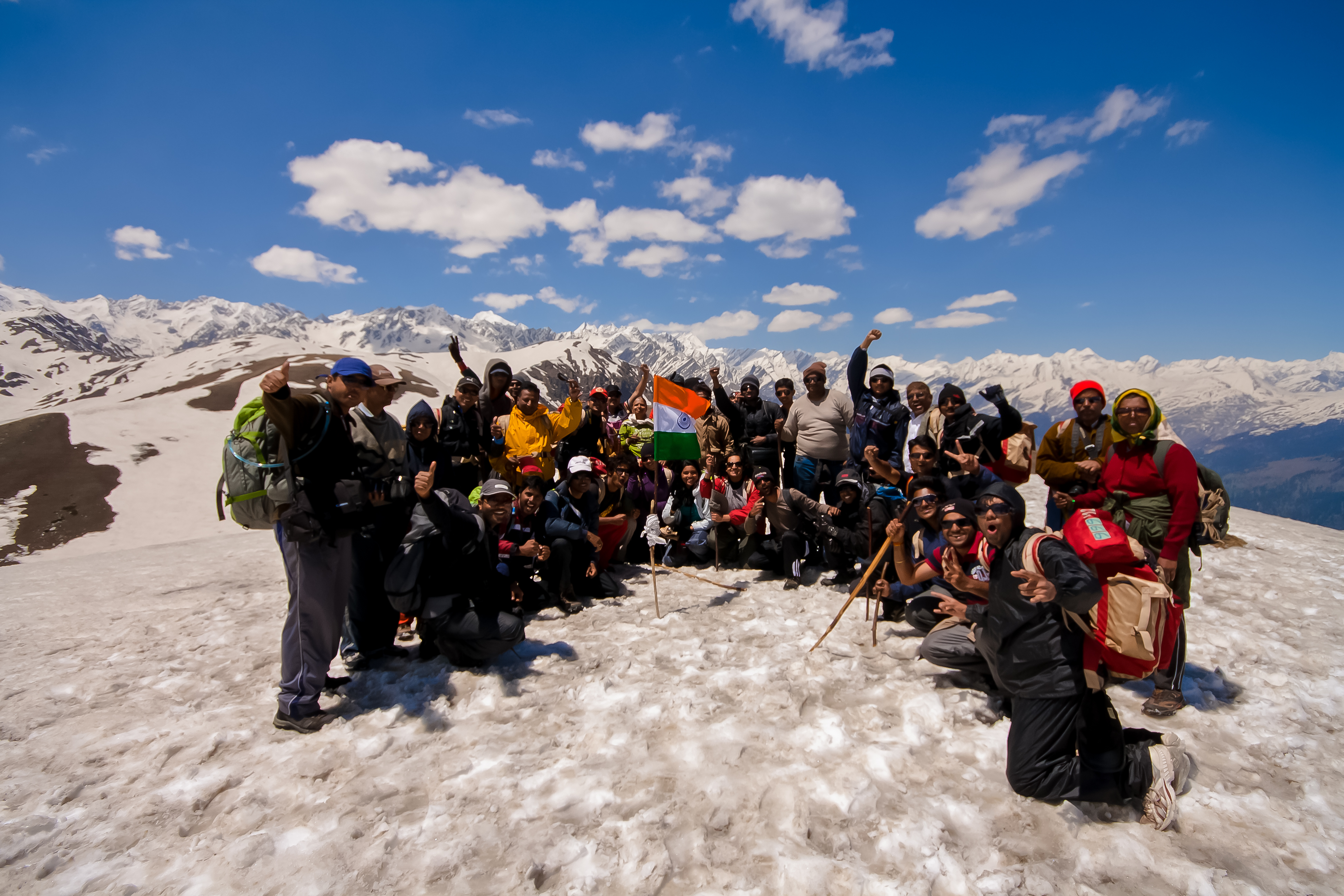
Then at around 4.30, we reached the Sarvjna Peeta – a dedication to Adi Shankaracharya. The view from Sarvajna peeta itself was quite great.
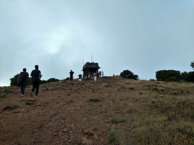
Sarvajna peeta
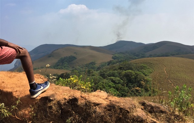
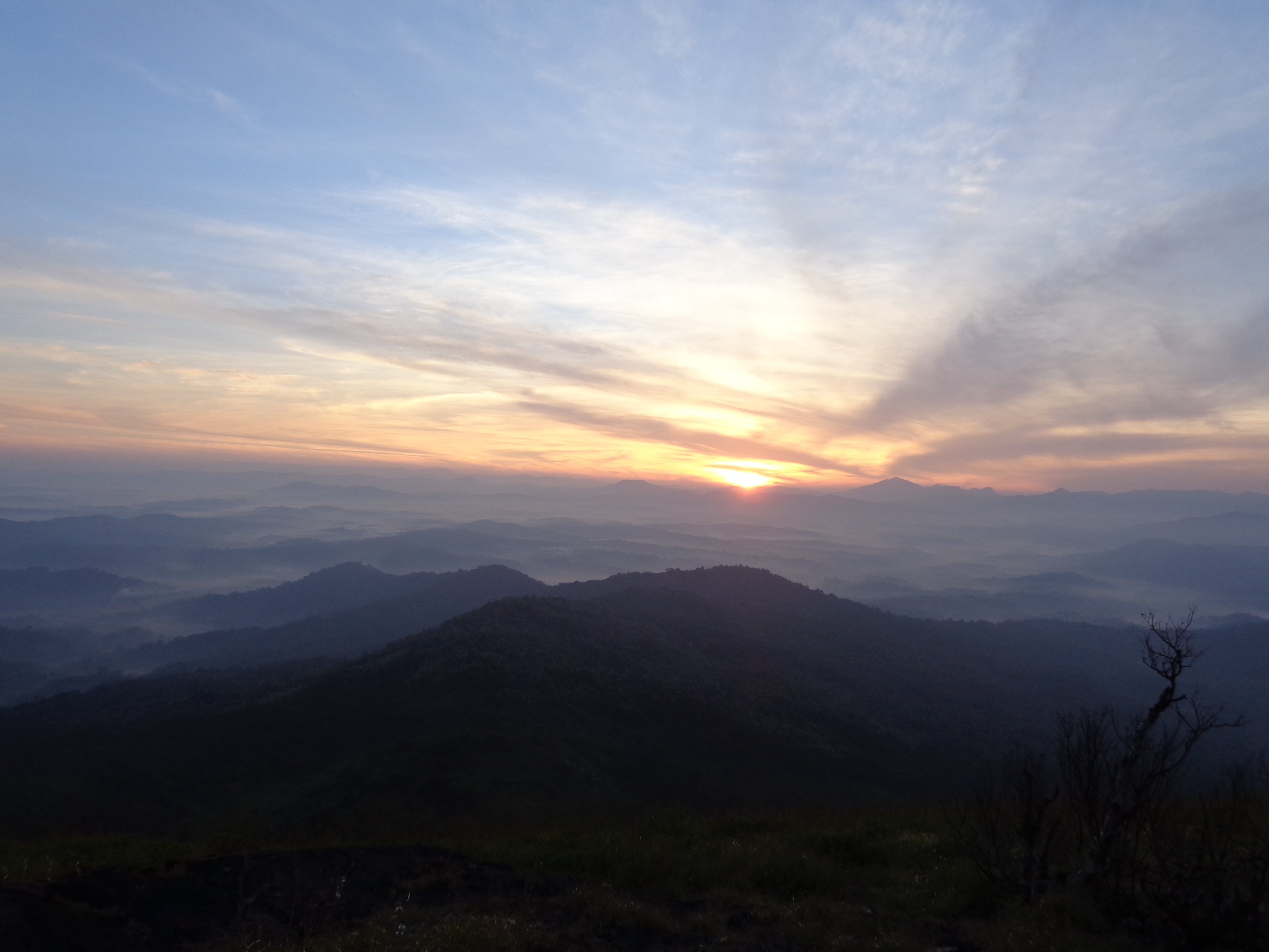
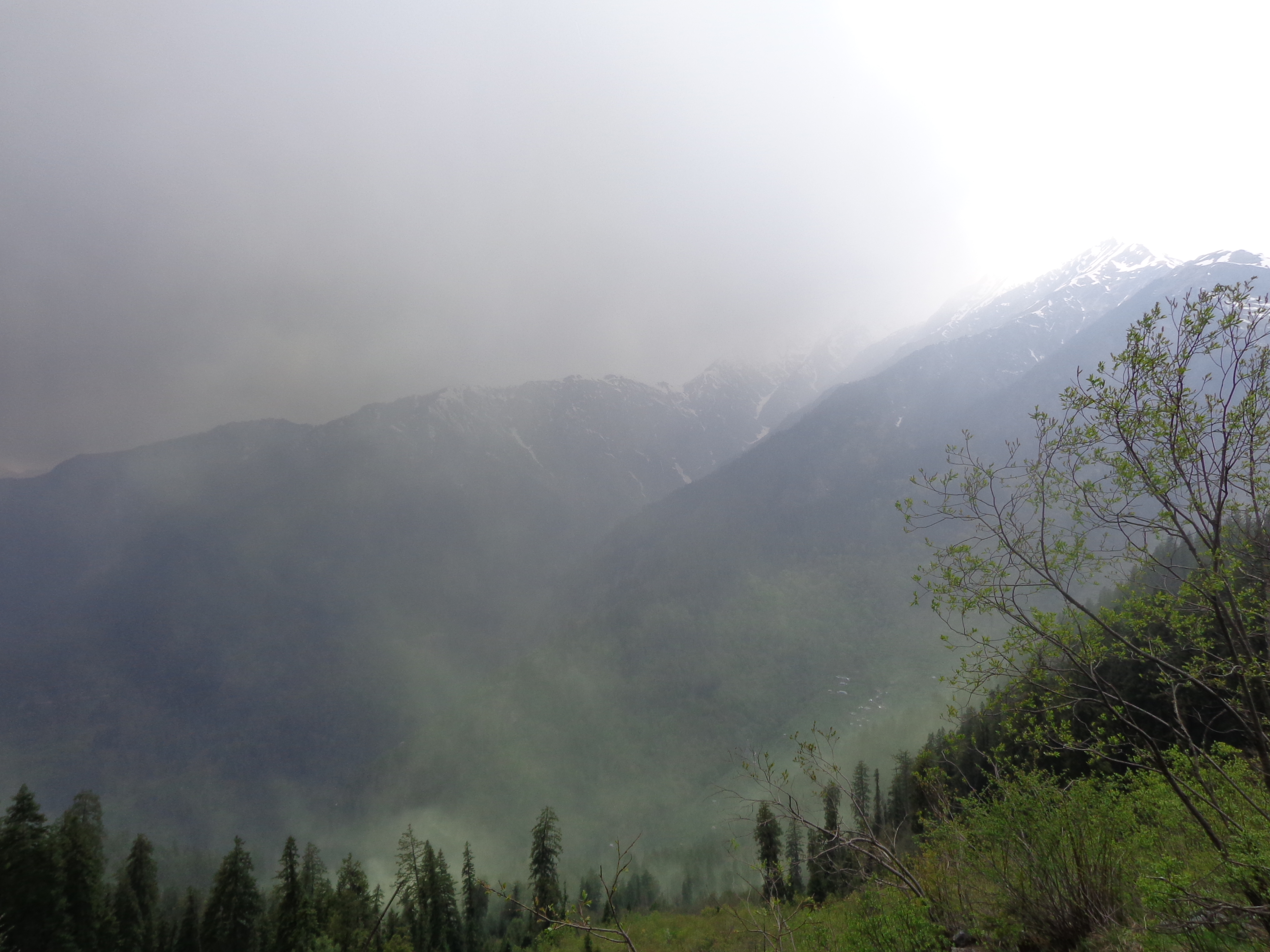
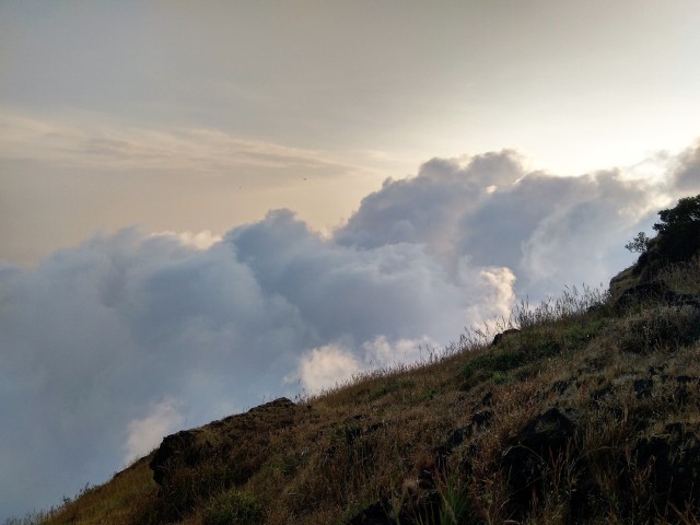
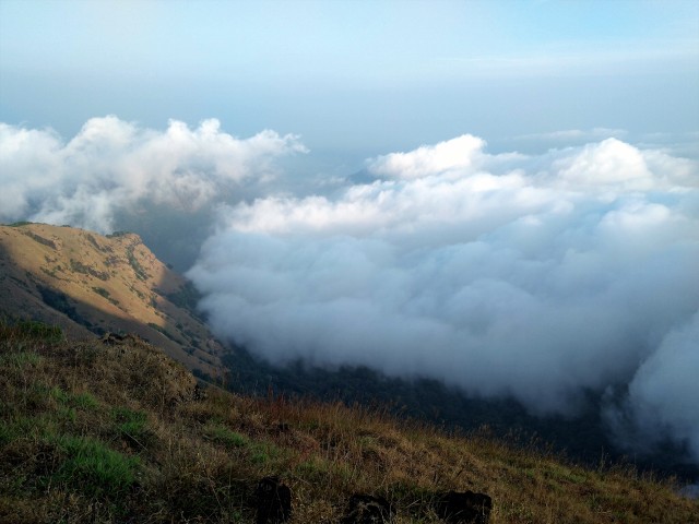
The sunset view point was visible from here and it was just around 15 minutes away. It was all foggy here and we could hardly get a glimpse of the forests below. But it was evident that we were at the highest point of the region. We were not very lucky to get a good sunset. But, with good evening light, we clicked some good pics and spent some memorable time on the rocky ledges.
5.45 PM and we started towards the Inspection Bungalow where our jeep would be waiting. The jeep ride was a real bumpy one and not for faint hearted or for the elderly. We wondered how worse it would be during the monsoon with slippery mud all over the track. In about 90 minutes, we reached the homestay.
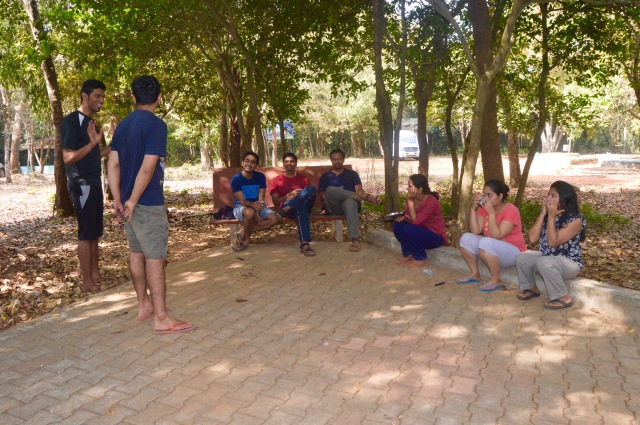
Hot pakodas and piping hot tea were waiting for us at the homestay once we freshened ourselves up. We could not have asked for a better trek day. After a round of playing cards, we hit the bed.
DAY 3 – 09th December 2018:
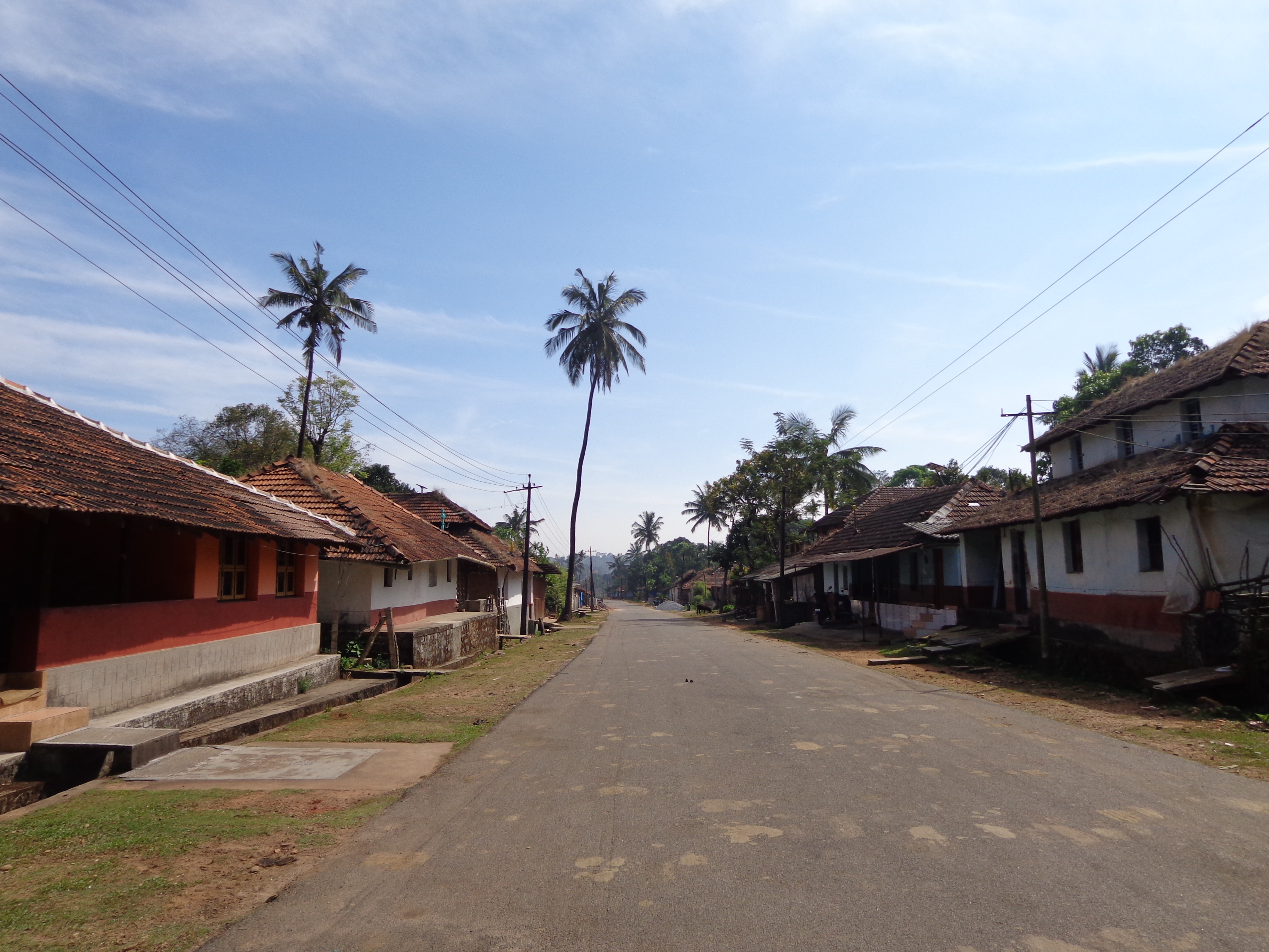
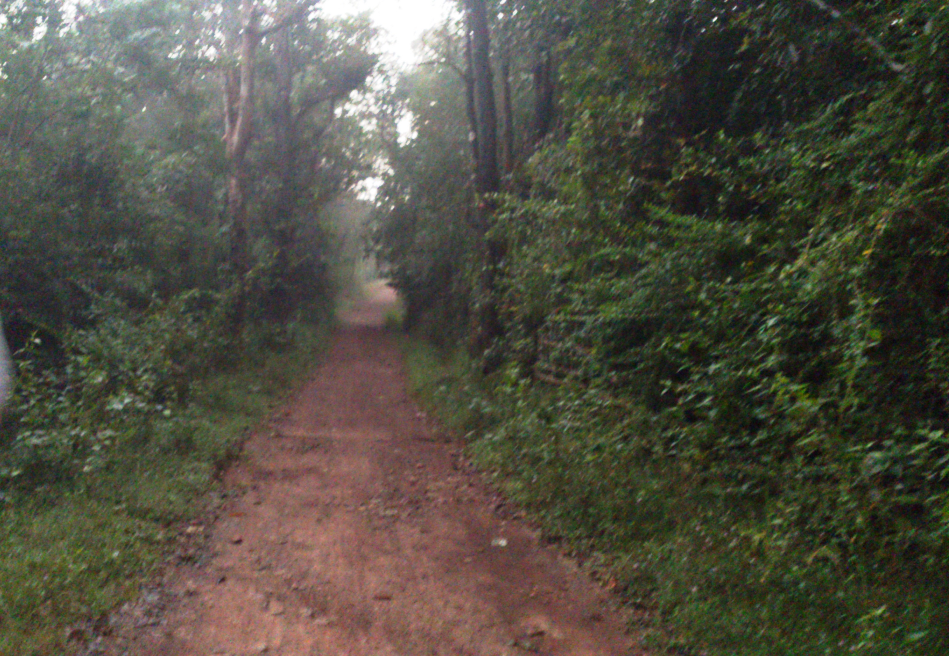
It was 7.30 AM when I woke up to see the foggy morning. With hot tea in hand, I went for a walk through the sleepy village. It is always so refreshing to walk the paths of malnad settlements and breathe the morning air. It never misses to give the cleanising experience and somehow gives the feeling that these are real homes and that we are missing it so much by being away from nature.
KattinahoLe village
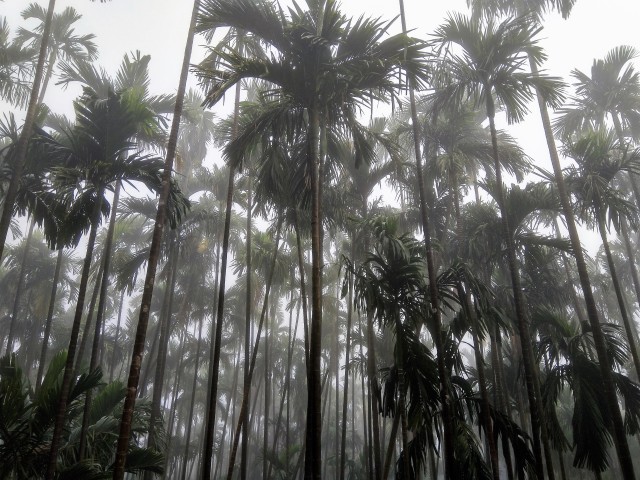
Arecanut plantation
Idlis, poha and sweet was served in the beautiful semi-open dining area of the homestay. We freshened up, packed things up and were ready to leave the homestay by 10 AM. Our jeep was ready and dropped us to Kollur (~30 Kms) at around 11 AM.
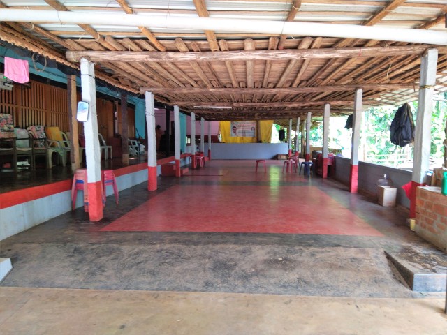
Homestay Dining area
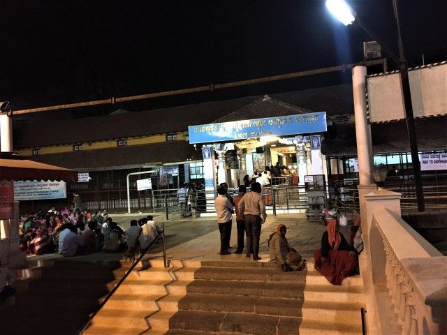
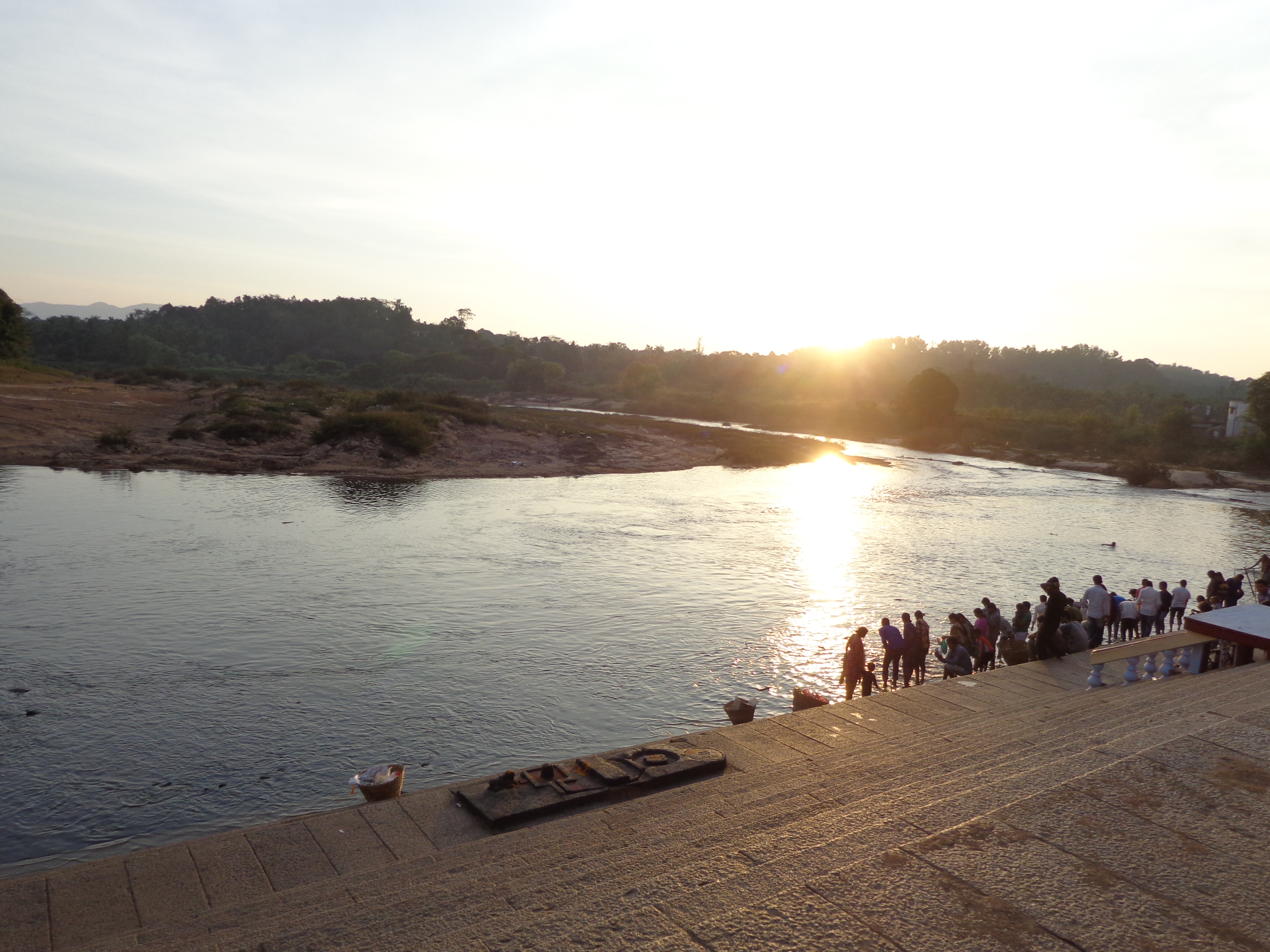
Kollur was humid and the sun was at its peak. Kollur Mookambika temple is a historically significant and beautiful place. With flocks of people from Kerala and Karnataka, it is almost always crowded and today was no exception. We left our bags in a cloak room and got our darshan by 1 PM. Lunch (Prasada) was served in the public dining area (adjoining the temple complex). We were in the bus stop with our bags at 2.30 PM waiting for our bus to Someshwara.
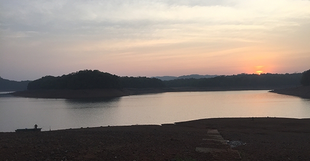
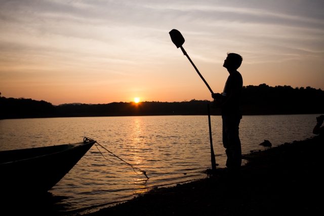
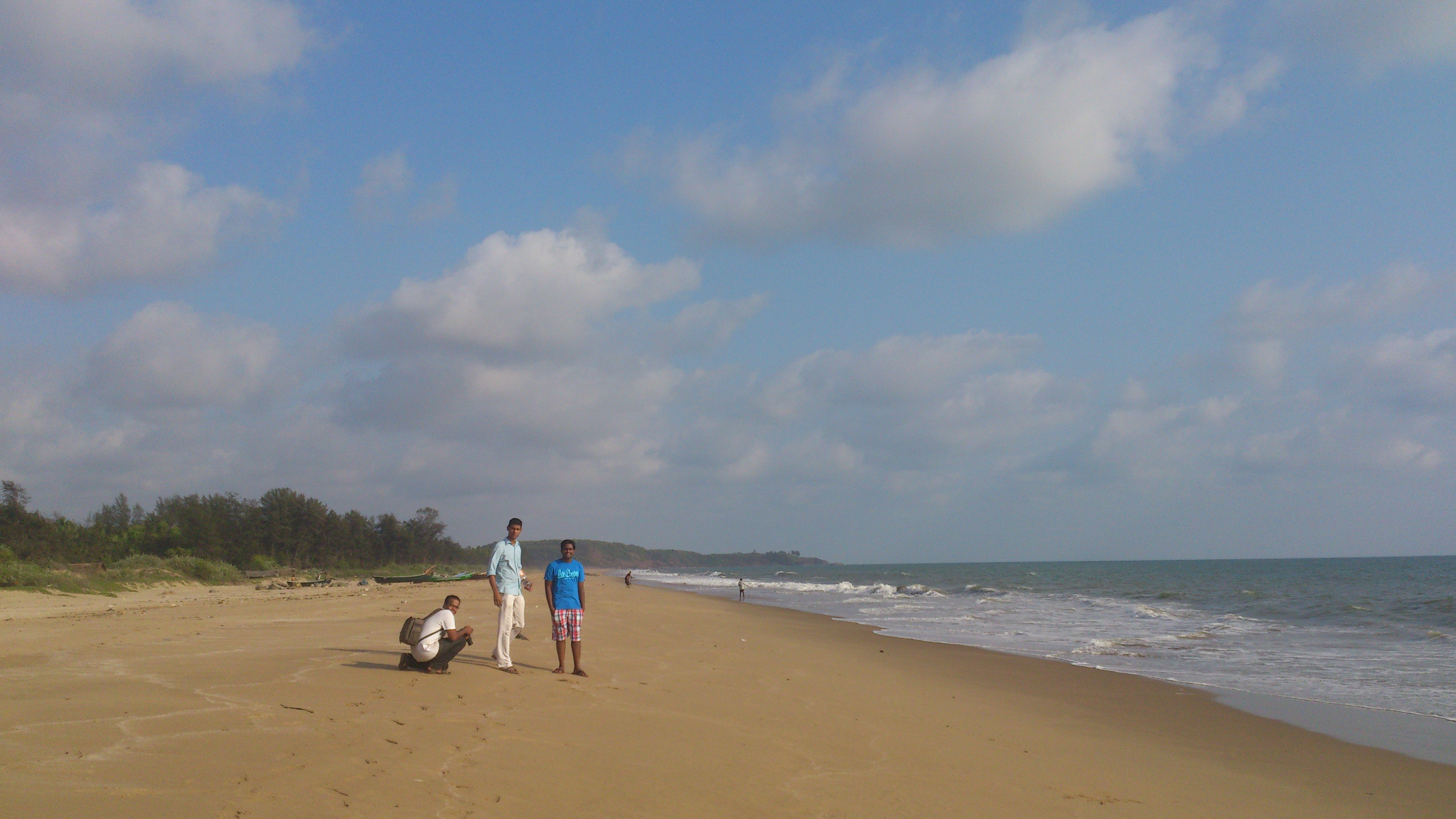
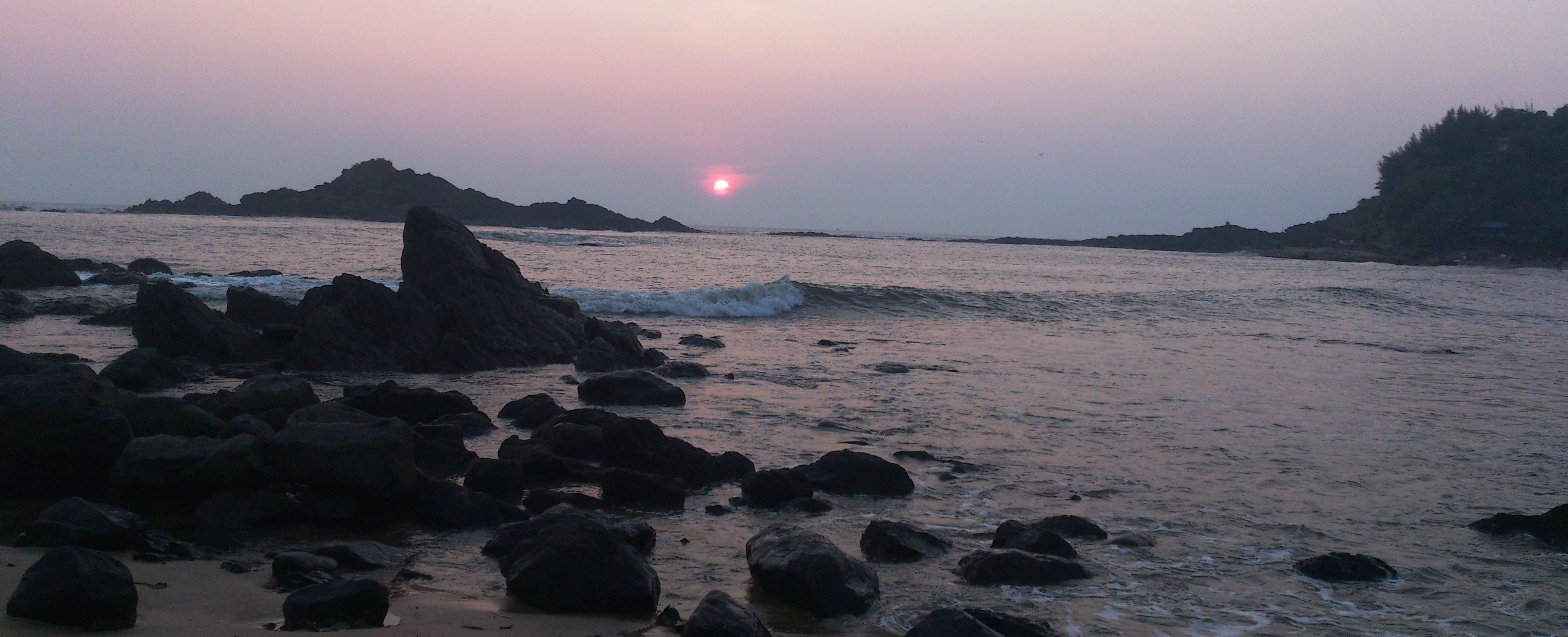
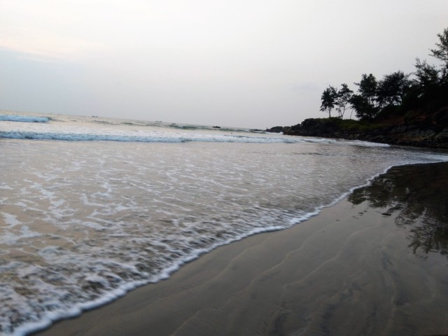
Someshwara is a quiet little coastal area. Someshwara beach is not really a famous tourist location. We reached Someshwara bus stop by 3.30 PM. An auto from here and we found ourselves in the beach at 4 PM – right on time. It was blissful sight. I, personally like places which are not crowded. This place was not only devoid of people but also clean, beautiful and not much commercialized. It is also an estuary where Sumana river meets the Arabian ocean.
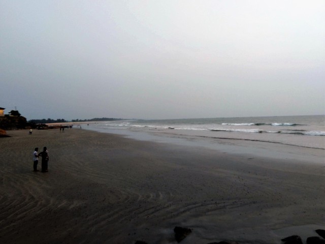
Someshwara beach
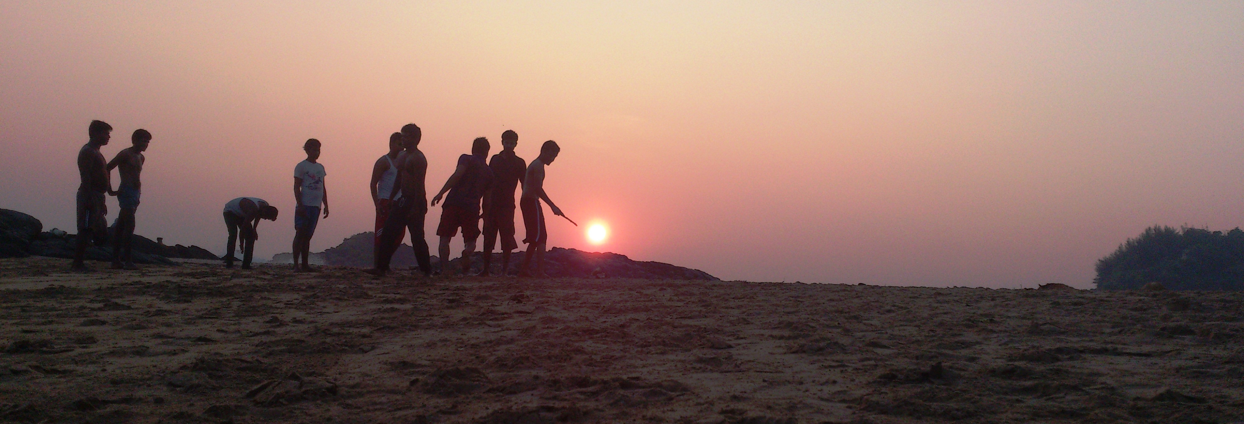
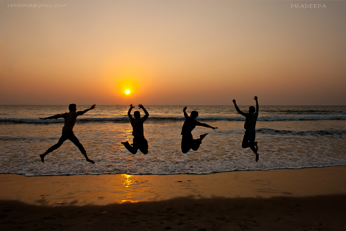
We quickly dumped our bags on on one of the rocks and found a quiet spot on a big rock with the sunset view. I have to say, this was the highlight of this trip. There were mussels, snails, crabs all over the place with waves splashing on the rocks and ships at a distance with setting sun in the backdrop. Have to thank Jagan to have planned to come to this place after the trek. Cannot ask for more for pulling curtain on a memorable trek-cum-trip.
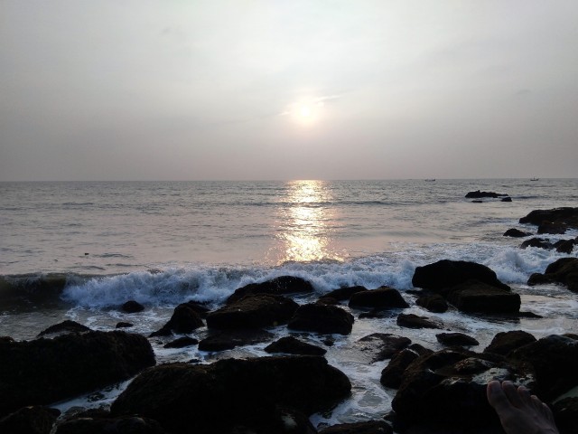
Beautiful sunset view
An auto took us to a restaurant after sunset and dropped us to GoliHole bus stop (around 20 Kms) where our Durgamba travels bus was waiting for us. We slept quickly and found ourselves in Bengaluru at 6 AM next morning.